
Chart Series


Which Chart Should I Choose?
Imray A, B & D series marine charts cover the oceans and islands of the Caribbean
Imray C series marine charts cover the UK coastal areas in detail
Imray E series nautical marine charts cover the Atlantic Islands oceans and coastal areas
Imray G & M series nautical marine charts cover the Mediterranean Islands, oceans and coastal areas
Imray Y series nautical marine charts cover the UK inland rivers, canals, waterways and estuaries in detail
Imray 2000 Series UK Coastal Charts cover coastal areas of the UK and Channel Islands
Admiralty Leisure Folio chart packs provide charts for UK costal and estuary areas. Typically consisting of 15-20 individual charts for each folio, these packs provide a highly detail
Waterways Maps & Guides are also for the leisure user covering UK inland waterway, rivers, estuary and Canals
-
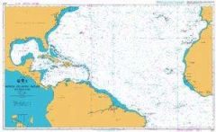 Admiralty Leisure Chart Folio - North Atlantic Ocean - Southern PartRRP £24.60
Our Price £24.60Availability:Normally in stock
- 25%off RRP
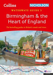 Collins Nicholson - Waterways Guide - BirminghamRRP £16.99
Our Price £12.74 Saving £4.25 (25%)Availability:Normally in stock
- 25%off RRP
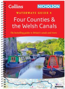 Collins Nicholson - Waterways Guide - Four Counties & The Welsh CanalsRRP £16.99
Our Price £12.74 Saving £4.25 (25%)Availability:Normally in stock
- 25%off RRP
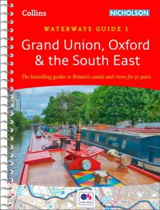 Collins Nicholson - Waterways Guide - Grand Union, Oxford & SERRP £16.99
Our Price £12.74 Saving £4.25 (25%)Availability:Normally in stock
- 25%off RRP
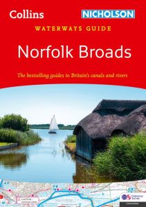 Collins Nicholson - Waterways Guide - Norfolk BroadsRRP £9.99
Our Price £7.49 Saving £2.50 (25%)Availability:Normally in stock
- 25%off RRP
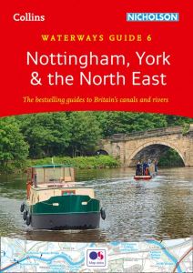 Collins Nicholson - Waterways Guide - Notts, York & NERRP £16.99
Our Price £12.74 Saving £4.25 (25%)Availability:Normally in stock
- 25%off RRP
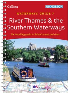 Collins Nicholson - Waterways Guide - River ThamesRRP £16.99
Our Price £12.74 Saving £4.25 (25%)Availability:Normally in stock
- 25%off RRP
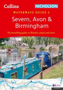 Collins Nicholson - Waterways Guide - Severn, Avon & BirminghamRRP £16.99
Our Price £12.74 Saving £4.25 (25%)Availability:Normally in stock
-
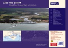 Imray 2000 Series - Chart Pack - The Solent (2200)RRP £54.95
Our Price £54.95Availability:Normally in stock
-
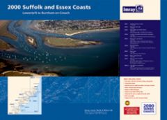 Imray 2000 Series Chart Pack - Suffolk & Essex Coasts (2000)RRP £54.95
Our Price £54.95Availability:Normally in stock
-
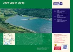 Imray 2000 Series Chart Pack - Upper Clyde (2900)RRP £54.95
Our Price £54.95Availability:Normally in stock
-
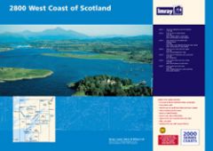 Imray 2000 Series Chart Pack - West Coast Scotland (2800)RRP £54.95
Our Price £54.95Availability:Normally in stock