A-Z Master Atlas Of Greater London (Flexibound)
Our Price £16.79 With Free First Class Delivery On All Orders Saving £4.20 (20%)


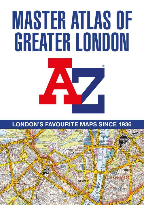
A-Z Master Atlas of Greater London (Flexibound)
A-Z's flagship London publication, the Master Atlas of Greater London covers an impressive 1450 square miles with an index of over 100,000 streets and other addresses.
Street map coverage extends beyond Greater London and the M25 to include:
- Hemel Hempstead
- St. Albans
- Potters Bar
- Waltham Cross
- Epping
- Brentwood
- Thurrock
- Gravesend
- Sevenoaks
- Redhill
- Reigate
- Leatherhead
- Woking
- Windsor
- Slough
- Chorleywood
Also included are 18 pages of central London Super Scale mapping (9" to 1 mile) with additional features, greater detail and clarity; extending to:
- Regent's Park
- St. Pancras International Station
- Tower Bridge
- Bricklayer's Arms Junction
- Vauxhall Bridge
- South Kensington
- Paddington Station
The street mapping has a wealth of additional features, including Postcode districts, one-way streets, Charging Zone Boundaries, Cycle Hire Docking Stations (super scale only) and safety camera locations with speed limits.
This flexibound publication also includes:
- Greater London Postcode map
- Congestion Charging Zone overview map
- Low Emission Zone and T-Zone (Ultra Low Emission Zone) overview map
- Eight pages of detailed road mapping at 3" to 1 mile, centred on London and covering 6371 square miles
- Transport for London Underground map
- London's Rail & Tube Services map
- West End Cinema and Theatre maps
- Administrative Boundary Map of the Greater London area.
- The index section of the atlas lists streets, selected flats, walkways and places of interest, junction, place and area names. A separate index of hospitals, hospices and NHS Walk-in Centres includes address and telephone information. Also indexed separately are National Rail stations, London Tramlink stops, Docklands Light Railway stations, London Underground and Overground stations and River Boat stops covered by this atlas.
The Master Atlas of Greater London combines extensive coverage and comprehensive content in a single publication representing great value for money.
| Series | Street Atlas |
|---|---|
| Activity | Driving |
| Brand | A-Z |
| Continent | Europe |
| Country | England |
Dispatch
We pride ourselves on providing a fast, efficient service and therefore we aim to dispatch all orders received before 4:00pm on the same day.
Free Delivery
We offer a free 1st class delivery service on all orders. This gaurantees you a 1-2 day delivery service via Royal Mail.
Need it fast?
we offer a selection of shipping upgrades at the checkout stage.
- Expedited Shipping - Royal Mail 1st Class: FREE
- Next-Day Courier Shipping - 24hr Courier Service: £6.95
The Dash 14 day – ‘No Questions Asked’ Returns Policy
Provided you return the item(s) to us in an unused and resaleable condition along with its original packaging…
We guarantee that if you change your mind for any reason within 14 days of purchase, you are free to return your item(s) to us for exchange or full refund on the product price
Beyond our 'No Questions Asked' period we will of course, happily accept items being returned as a result of damage or packing errors. In each of these cases we will provide you with a freepost address for the return of the item(s).