A Modern Pilgrim's Map of the British Isles - Published 1937

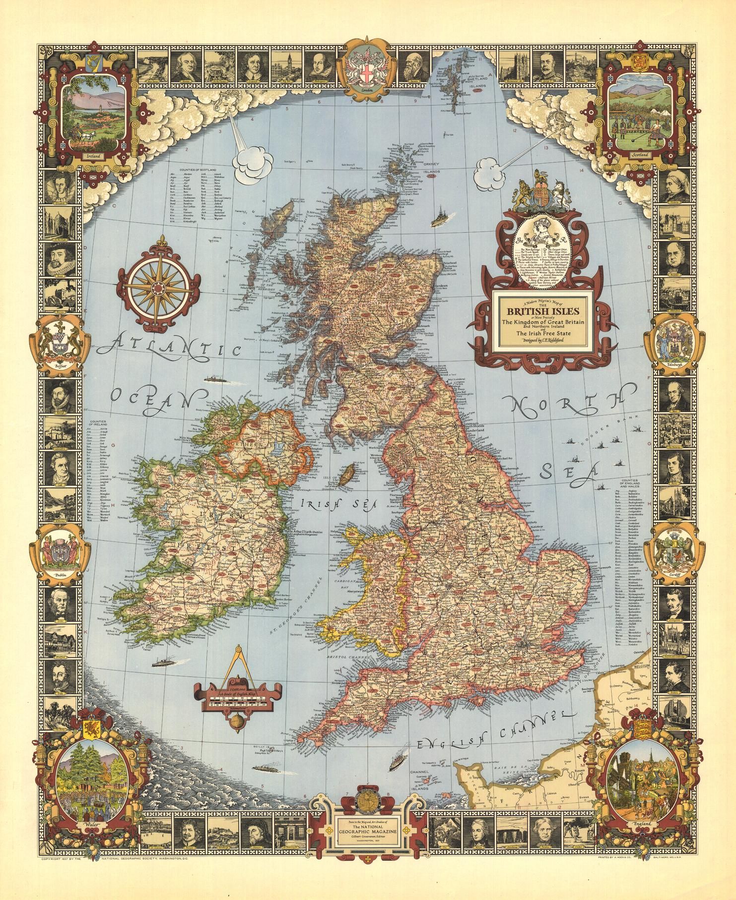
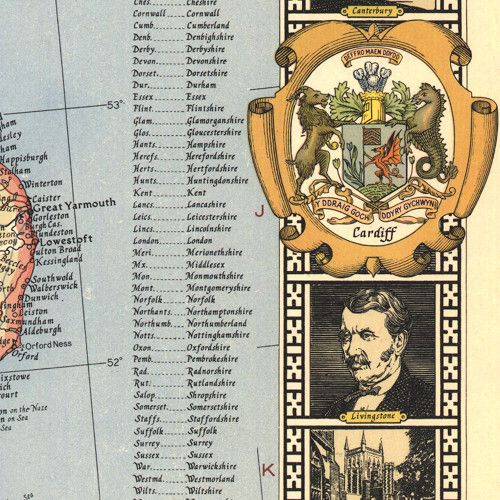
Published in June 1937, this whimsical map of the British Isles features colorful illustrations, county indexes, and thousands of places of interest in England, Wales, Scotland, and Ireland. The illustrated border contains sketches of historical figures and locations of interest. The unique artistic craftsmanship of this colorful and vibrant map make it a wonderful gift for those who love the British Isles.
| Width (mm) | 785 |
|---|---|
| Height (mm) | 961 |
| Scale | 1:1,622,000 |
| Brand | LUCIDMAP |
Dispatch
We pride ourselves on providing a fast, efficient service and therefore we aim to dispatch all orders received before 4:00pm on the same day.
Free Delivery
We offer a free 1st class delivery service on all orders. This gaurantees you a 1-2 day delivery service via Royal Mail.
Need it fast?
we offer a selection of shipping upgrades at the checkout stage.
- Expedited Shipping - Royal Mail 1st Class: FREE
- Next-Day Courier Shipping - 24hr Courier Service: £6.95
The Dash 14 day – ‘No Questions Asked’ Returns Policy
Provided you return the item(s) to us in an unused and resaleable condition along with its original packaging…
We guarantee that if you change your mind for any reason within 14 days of purchase, you are free to return your item(s) to us for exchange or full refund on the product price
Beyond our 'No Questions Asked' period we will of course, happily accept items being returned as a result of damage or packing errors. In each of these cases we will provide you with a freepost address for the return of the item(s).