IGN Top 25 - Serie Bleu - Ancenis / Riaillé 1322
Our Price £14.72 With Free First Class Delivery On All Orders Saving £0.78 (5%)


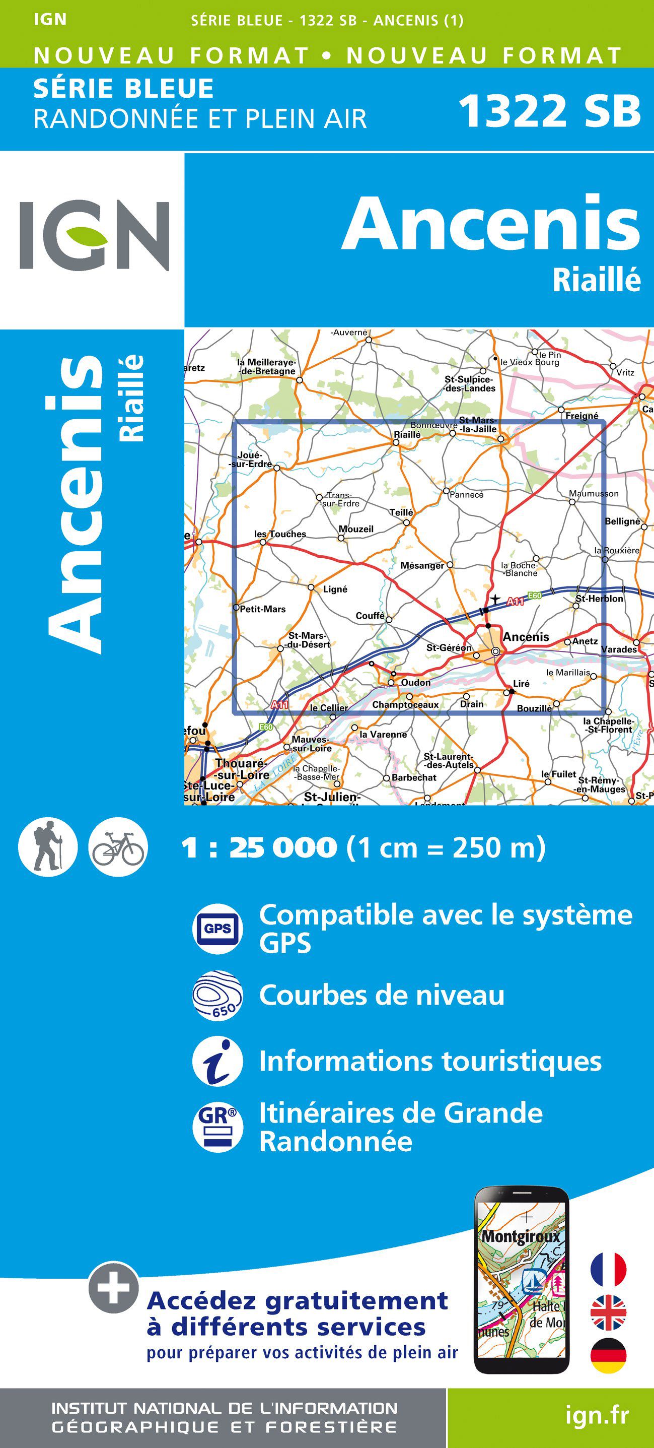
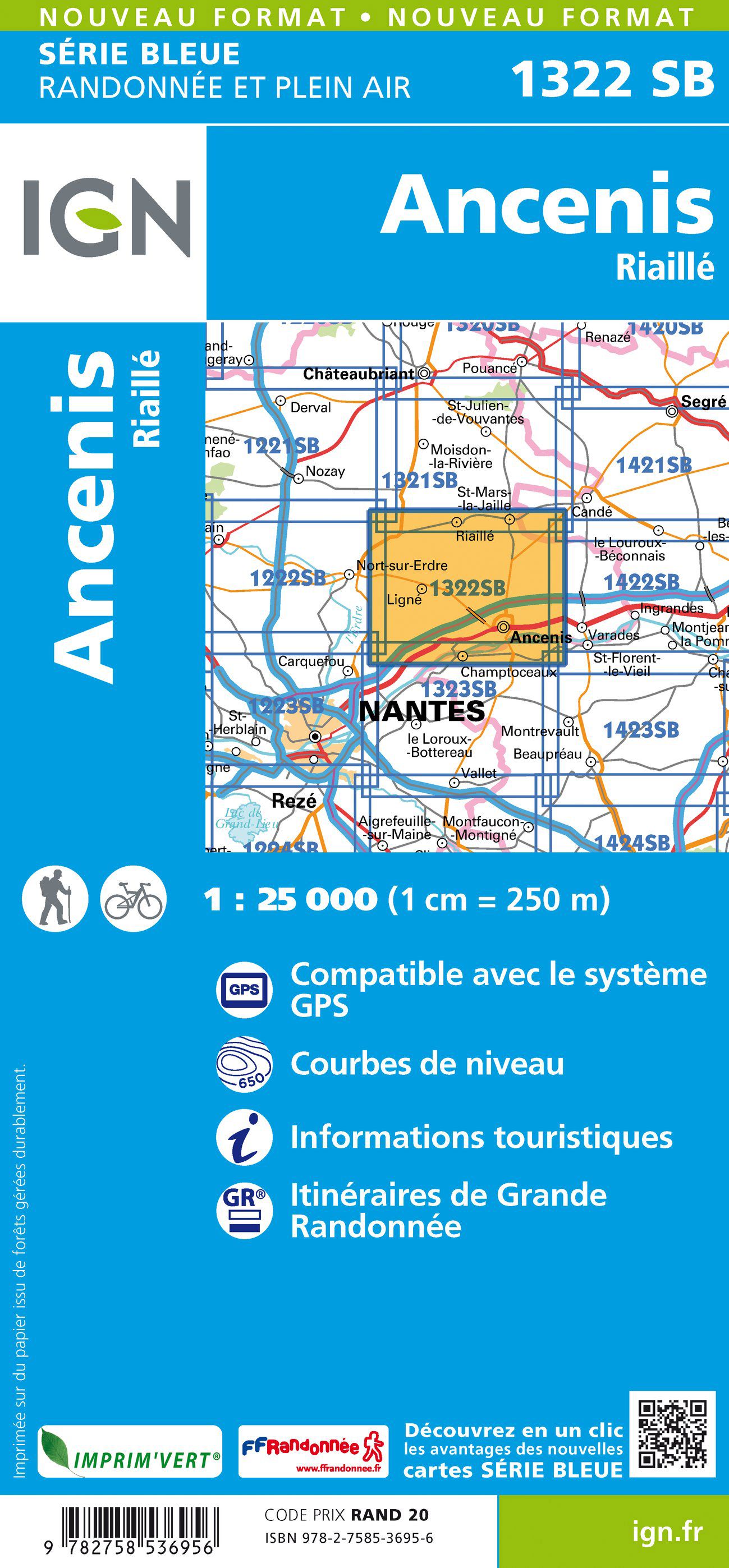
1:25,000 scale
4 cm to 1 km or 2½ inches to 1 mile
The IGN Bleue and Top25 series provide detailed and accurate, topographic 1:25 000 maps of France. Comparable in scale and detail to Ordnance Survey Explorer maps, this series provides the most detailed mapping of France ideal for outdoor enthusiast. Perfect for walking, hiking, bike, and horse rides, the detailed 1:25k scale mapping means that bridleways, cycle trails, and paths are clearly shown. Containing all the features that you would expect to see on the ground: from transport links to the smallest path, buildings to sheds, woods to isolated trees and rivers to springs, Without forgetting the relief represented by contour lines. Ideal for exploring France in detail.
IGN Bleue/Top25 map features include:
- Legend in English
- Outstanding detail and clarity
- Track, path and cycleways
- Topographic detail with contour information
- Tourist and leisure symbols
- GR hiking routes shown
- GPS compatible. UTM grid included
Top25 maps (map numbers ending with T)
cover areas of particular tourist interest such as the Alps, Pyrenees, Cevennes, Vosges etc and include a routes overlay. Each TOP25 map covers an area of approximately 28 x 21 km / 17 x 13 miles
Serie Bleue maps (map numbers ending with E or O)
cover all other areas of France with a map coverage of approximately 20 x 14 km / 12 x 9 miles
This series comprehensively covers France with highly detailed maps.
IGN (Institut Geographique National) is the official mapping agency of the nation providing accurate, reliable and detailed geographic information of the French landscape and is now a name now synonymous with outdoor leisure activities and navigation in Europe.
An overprint highlights local footpaths, long-distance GR routes and, where appropriate, ski routes. Other tourist information indicated by symbols includes campsites, huts, mountain refuges, equestrian or canoeing centres, notable sites, etc. Map legend is in French and English.| Series | Bleue Series |
|---|---|
| Scale | 1:25,000 |
| Activity | Cycling, Horse Riding, Orienteering, Walking |
| Brand | IGN |
| Continent | Europe |
| Country | France |
| Region | Loire |
Dispatch
We pride ourselves on providing a fast, efficient service and therefore we aim to dispatch all orders received before 4:00pm on the same day.
Free Delivery
We offer a free 1st class delivery service on all orders. This gaurantees you a 1-2 day delivery service via Royal Mail.
Need it fast?
we offer a selection of shipping upgrades at the checkout stage.
- Expedited Shipping - Royal Mail 1st Class: FREE
- Next-Day Courier Shipping - 24hr Courier Service: £6.95
The Dash 14 day – ‘No Questions Asked’ Returns Policy
Provided you return the item(s) to us in an unused and resaleable condition along with its original packaging…
We guarantee that if you change your mind for any reason within 14 days of purchase, you are free to return your item(s) to us for exchange or full refund on the product price
Beyond our 'No Questions Asked' period we will of course, happily accept items being returned as a result of damage or packing errors. In each of these cases we will provide you with a freepost address for the return of the item(s).