Philips Road Atlas Britain & Ireland - Spiral
Our Price £12.79 With Free First Class Delivery On All Orders Saving £3.20 (20%)


Philips Essential Road Atlas Britain and Ireland
This mid-format atlas features fully updated maps from the Philip's digital database, which has been voted Britain's clearest and most detailed in an independent consumer survey, and includes speed-camera locations with their speed limits.
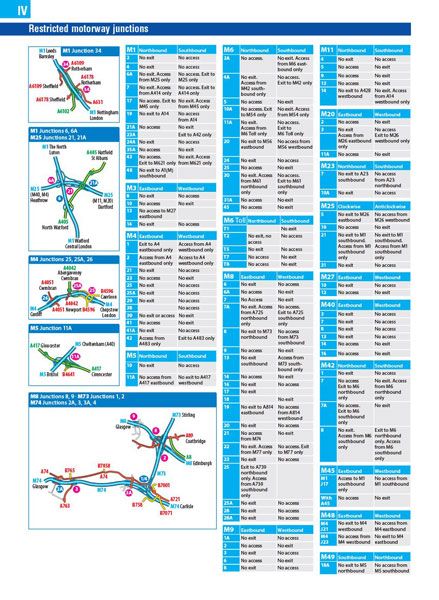
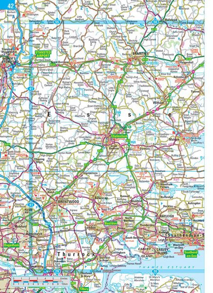
Philip's Essential Road Atlas Britain and Ireland contains 160 pages of road maps covering Britain at 3 miles to 1 inch = 1:200,000 with the Western Isles, Orkney and Shetland at smaller scales. The maps clearly mark service areas, roundabouts and multi-level junctions, and in rural areas distinguish between roads over and under 4 metres wide - a boon for drivers of wide vehicles.
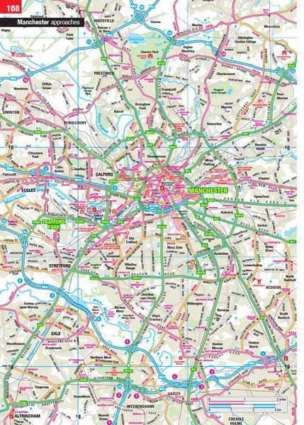
The atlas also includes 10 pages of route-planning maps, a distance table, 4 large-scale city approach maps with named arterial roads, and 32 extra-detailed town and city plans.
| Series | Navigator |
|---|---|
| Activity | Driving, Travel |
| Brand | PHILIPS |
| Continent | Europe |
| Country | England, Ireland, N.Ireland, Scotland, UK, Wales |
Dispatch
We pride ourselves on providing a fast, efficient service and therefore we aim to dispatch all orders received before 4:00pm on the same day.
Free Delivery
We offer a free 1st class delivery service on all orders. This gaurantees you a 1-2 day delivery service via Royal Mail.
Need it fast?
we offer a selection of shipping upgrades at the checkout stage.
- Expedited Shipping - Royal Mail 1st Class: FREE
- Next-Day Courier Shipping - 24hr Courier Service: £6.95
The Dash 14 day – ‘No Questions Asked’ Returns Policy
Provided you return the item(s) to us in an unused and resaleable condition along with its original packaging…
We guarantee that if you change your mind for any reason within 14 days of purchase, you are free to return your item(s) to us for exchange or full refund on the product price
Beyond our 'No Questions Asked' period we will of course, happily accept items being returned as a result of damage or packing errors. In each of these cases we will provide you with a freepost address for the return of the item(s).