Description
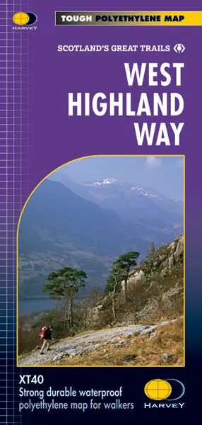
West Highland Way Map XT40 editionLeap forward in tachnical excellence. Tough, light and 100% wateproof
Compact and light – the map itself weighs just 60gms – a third of the weight of a laminated map, and much less bulky. And you can fold or refold it time and again, or stuff it in your back pocket and it won't fall to pieces. Shows the entire route on one sheet.
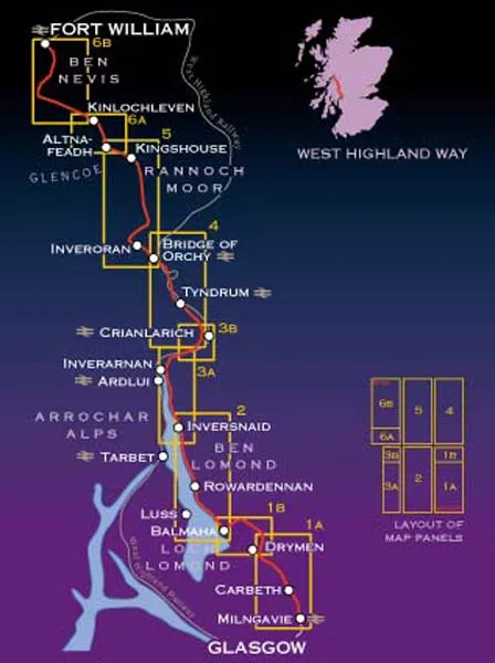
The Way is 153km (95 miles) from Milngavie, near Glasgow to Fort William. The map is arranged in panels so that at any one time you only have to have the part you need open. The map is printed on latex impregnated paper making it waterproof and more robust. This map is bio-degradable. It is supplied folded in a plastic pocket.
The map shows the detail you need for navigation. There is a full key and scale bar.
Information on planning your trip, accommodation, useful telephone numbers and websites, travel, and tips are all included.
Scale 1:40,000
Dispatch
We pride ourselves on providing a fast, efficient service and therefore we aim to dispatch all orders received before 4:00pm on the same day.
Next Day Delivery
We offer a free 24hr delivery service on all orders over £15. This guarantees you a 24-hour tracked delivery service via Royal Mail.
See our full delivery policy here.
The Dash 14 day – ‘No Questions Asked’ Returns Policy
Provided you return the item(s) to us in an unused and resaleable condition along with its original packaging…
We guarantee that if you change your mind for any reason within 14 days of purchase, you are free to return your item(s) to us for exchange or full refund on the product price
Beyond our 'No Questions Asked' period we will of course, happily accept items being returned as a result of damage or packing errors. In each of these cases we will provide you with a freepost address for the item(s) return.
See our full returns policy