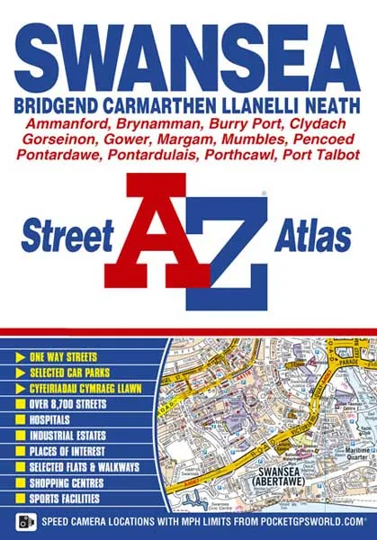


Description
Scale: 4 inches to 1 mile (6.3cm to 1km)
The continuous standard street mapping around Swansea, Llanelli, Neath and Port Talbot extends to include:
•Mumbles, Southgate, Bishopston, Three Crosses, Dunvant, Pen-Clawdd, Gowerton, Gorseinon, Burry Port, Pwll, Llangennech, Pontardulais, Gorlais, Ammanford, Garnant, Brynamman, Gwaun-Cae-Gurwen, Ystradowen, Ystradgynlais, Seven Sisters, Capel Hendre, Pontardawe, Clydach, Morriston, Trebanos, Birchgrove, Skewen, Briton Ferry, Baglan, Cwmavon, Aberavon and Margam.
•There is a large scale city centre map of Swansea. The continuous coverage around Bridgend includes:
•Porthcawl, North Cornelly, Pyle, Coytrahen, Sarn, Brackla and Pencoed. There is separate coverage of Carmarthen.
Postcode districts, one-way streets and safety camera locations with their maximum speed limit are featured on the mapping.
The index section lists streets, selected flats, walkways and places of interest, place, area and station names, hospitals and hospices covered by this atlas.