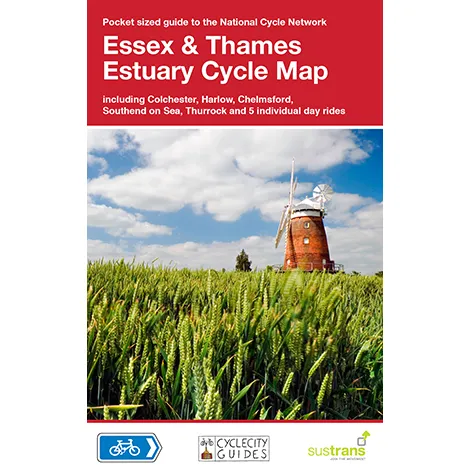

Description
Essex & The Thames Estuary cycle map
Scale 1:110,000 – main map
This area map shows the National Cycle Network and local routes in this area. It covers the Essex & Thames area of the East of England, including Colchester, Clacton-on-Sea, Basildon, Gravesend and Sheerness.
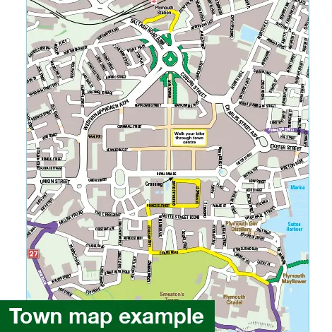
This pocket-sized colour map shows clearly mapped on-road and traffic-free paths, easy to read contours, and detailed inset maps for the major towns and cities as well as recommended linking routes connecting the NCN with quiet roads. The map also features 5 day rides with directions and a description of the area, highlighting key cycle routes, local history and places of interest.
Major cycle routes covered by this map:
National Route 1 between Harlow and Colchester via Chelmsford.
National Route 51 between Colchester and Harwich.
National Route 13 between Basildon and Colchester
The Flitch Way, National Route 16 between Bishop’s Stortford and Braintree.
National Route 11 between Stansted Mountfitchet and near Wendens Ambo.
Regional Route 50 between Quendon and Maldon.
The first UK miles of the North Sea Cycle Route(NSCR) on National Route 1.
Scale 1:110,000 – main map.
10 x 15cm folded, 60 x 80cm unfolded