


Description
DESCRIPTION
DARTMOOR MAP FOR UNLIMITED ADVENTURE
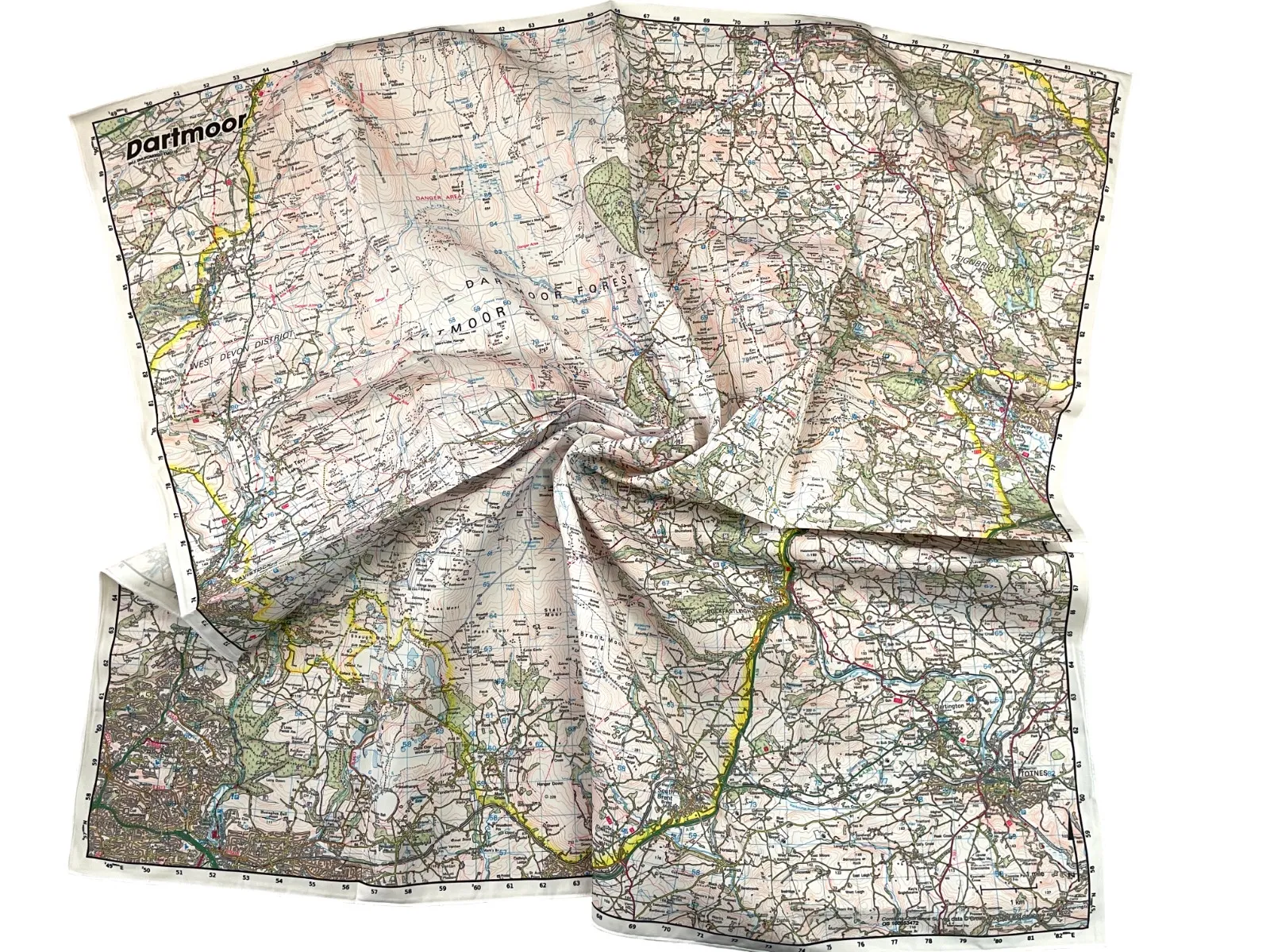
The Map of Dartmoor SplashMap enjoys huge coverage, encompassing almost the entire park at a scale of 1:50,000. Visitors can explore the Tors and ancient stone monuments scattered throughout this wild country.
ORDNANCE SURVEY MAP OF DARTMOOR ON FABRIC
Get yourself from A to B using the well-trusted Ordnance Survey Landranger map on fabric. Additionally, our map is printed onto waterproof fabric, making it versatile for outdoor adventures. It can be worn as a scarf or conveniently stuffed in a pocket, providing easy access when needed. With our map, there’s no need to carefully fold, simplifying your navigation experience.
HIGHLY DETAILED CONTENT
The content of our Map of Dartmoor SplashMap includes bridleways and byways, along with all the fine detail you expect from the UK’s National Mapping Agency. Moreover, it’s ideally suited for two feet, two wheels, or 4 hooves.
MAP OF DARTMOOR KEY INFORMATION:
MAJOR SETTLEMENTS:
Chagford, Buckfastleigh, Ivybridge, Tavistock, Totnes, Plympton, Ashburton, Buckfastleigh, Moretonhampstead, Princetown, Yelverton, Horrabridge, South Brent, Christow, Drewsteignton, Bovey Tracey, Plymouth, Milton Combe, Tavistock, Mary Tavy, Lydford
MORE MAP OF DARTMOOR SPLASHMAPS
Each of these Maps of Dartmoor & nearby can be moved, retitled and different scales applied. Jump to the links, check the detail covered and set up our ideal positioning or simply choose your own in our simple map maker!
NATIONAL GRID COORDINATES (EASTING, NORTHING / GRID REFERENCE):
Lower-left – 248500, 056500
Upper-right -282500, 090500
SCALE:
1:50,000
DIMENSIONS ON MAP:
34.5km x 34.5km
SIZE OF PRODUCT (INCLUDING BORDERS):
73 x 73cm (approximately)