

Description
Pocket Mountains – The Tweed – From Source to Sea
Rivers have been at the centre of Scottish life for thousands of years. For the earliest settlers a river meant survival – a source of food, drinking water and transport. Over the centuries villages, towns and all of Scotland’s cities have grown and developed along the banks of a river. From the Industrial Revolution, when Scotland was one of the manufacturing powerhouses of Europe, until the long decline of heavy industry in the 20th century, rivers were integral to Scotland’s economic development. As towns and cities attempt to reinvent themselves in the wake of that decline, rivers and riverbanks are crucial to regeneration, providing key destinations for residential developments, offices, leisure and recreation.
Water activities such as rowing, sailing, kayaking, canyoning and fishing are increasingly popular, and wildlife is making a comeback as the environment begins to recover from pollution. From source to sea, a river passes through a variety of landscapes – from mountains to hills, towns to cities, countryside to concrete – and the best way to discover the scenery, wildlife, architecture and history is to walk.
The increasing number of paths and walkways along riverbanks present plenty of opportunities to explore. Whatever your ability – walking at high or low level, following tough terrain or a simple route – this series offers something for everyone.
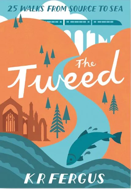
The River Tweed
At 96 miles in length the River Tweed is the fourth longest river in Scotland, although for the last few miles of its journey it crosses the border into England. The close proximity of the countries has bestowed an intriguing history upon the River Tweed. It has been a boundary for thousands of years, and was a crossing point both for trade between Scotland and England and for marauding armies. A number of bridges span the River Tweed and have played key roles in the story of this beautiful river. The Scottish Borders have, at times, been unfairly judged as a poor relation of the Scottish Highlands.
However, the sense of tranquillity the landscape engenders, the wildlife and the scenery soon dispel that notion. The term ‘lowlands’ is a misnomer, as the Border country has an abundance of higher ground, granting some superb walking opportunities. The 25 routes in this guidebook have been chosen to illustrate the varied landscapes, and thus the diversity of walking, to be found on and near the banks of the River Tweed as it travels from source to sea. Many of these routes are circular to take in the best of the scenery in the area around each stage of the river’s journey and to explore some of the most interesting towns and villages that have grown up along its banks. The walks also highlight the wildlife, architecture and history to be found along the way.
A place apart
In common with the land north of the Highland Boundary Fault, the Scottish Borders has its own dialect. The language of the Scottish Borders is distinct from much of Scotland and derives from the 1st Millennium when the region was a Celtic culture. An early form of Welsh was spoken, which can still be detected in names such as Kelso, Peebles and Galashiels. By the Middle Ages, English had become the dominant language: Broughton, Selkirk, Berwick and the many Laws (Dollar Law, Kirkhope Law and Broomy Law, for example) that rise above the River Tweed have their origins in Old English. The derivation of the name Tweed is vague, but possibly stems from the Brythonic tau or teu, which mean ‘strong’, ‘silent’ or ‘flowing’. The source of the River Tweed is Tweed’s Well, found in rugged moorland approximately six miles north of Moffat.
It is a lonely setting, and a number of little burns trickle down from the surrounding hills to join the burgeoning Tweed as it travels north and then east. Several significant rivers, such as the Teviot, Ettrick, Yarrow and Lyne, flow into the River Tweed as it meanders through the Scottish Borders, running along the Northumbrian Border and entering the North Sea at the magnificent walled town of Berwick- upon-Tweed. On its route, this great river runs through bustling, historic towns and villages such as Peebles, Melrose, Dryburgh, Gala and Kelso. Over the course of its journey, the River Tweed runs beneath the higher ground of Annanhead Hill, Broughton Heights, Drumelzier Law, the stunning Glensax Horseshoe and the iconic Eildon Hills, all of which grant superb views. It travels through some beautiful expanses of woodland and alongside great swathes of rich, fertile farmland. The riverbanks, woodland and farmland are alive with roe deer, otter, kestrel, heron, kingfisher, buttercup, red campion, bluebells and ramsons.