
Description
•Approximately 4 1/4″ x 9″ folded; 25 1/2″ x 37 3/4″ fully opened
•Scale = 1:40,000 & 1:20,000
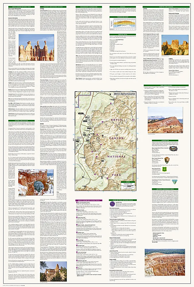
Printed on tear-resistant, waterproof material, this map can go anywhere you do. Each map is based on exact reproductions of USGS topographic map information, updated, customized, and enhanced to meet the unique features of each area. The maps include valuable wilderness tips and Leave No Trace guidelines, along with updated trails, trailheads, points of interest, campgrounds, and much more. With a new color palette and stunning shaded relief, backcountry navigation has never been easier.
This map includes the entire national park area, with detailed trails and topographic information. Also covered are portions of Grand Staircase – Escalante National Monument, Bryce Ampitheater, Sunrise Point, Bryce Canyon Lodge, Black Birch Canyon, Rainbow Point, the Queens Garden Trail, and more. Also provided are UTM grids for use with your GPS unit.