
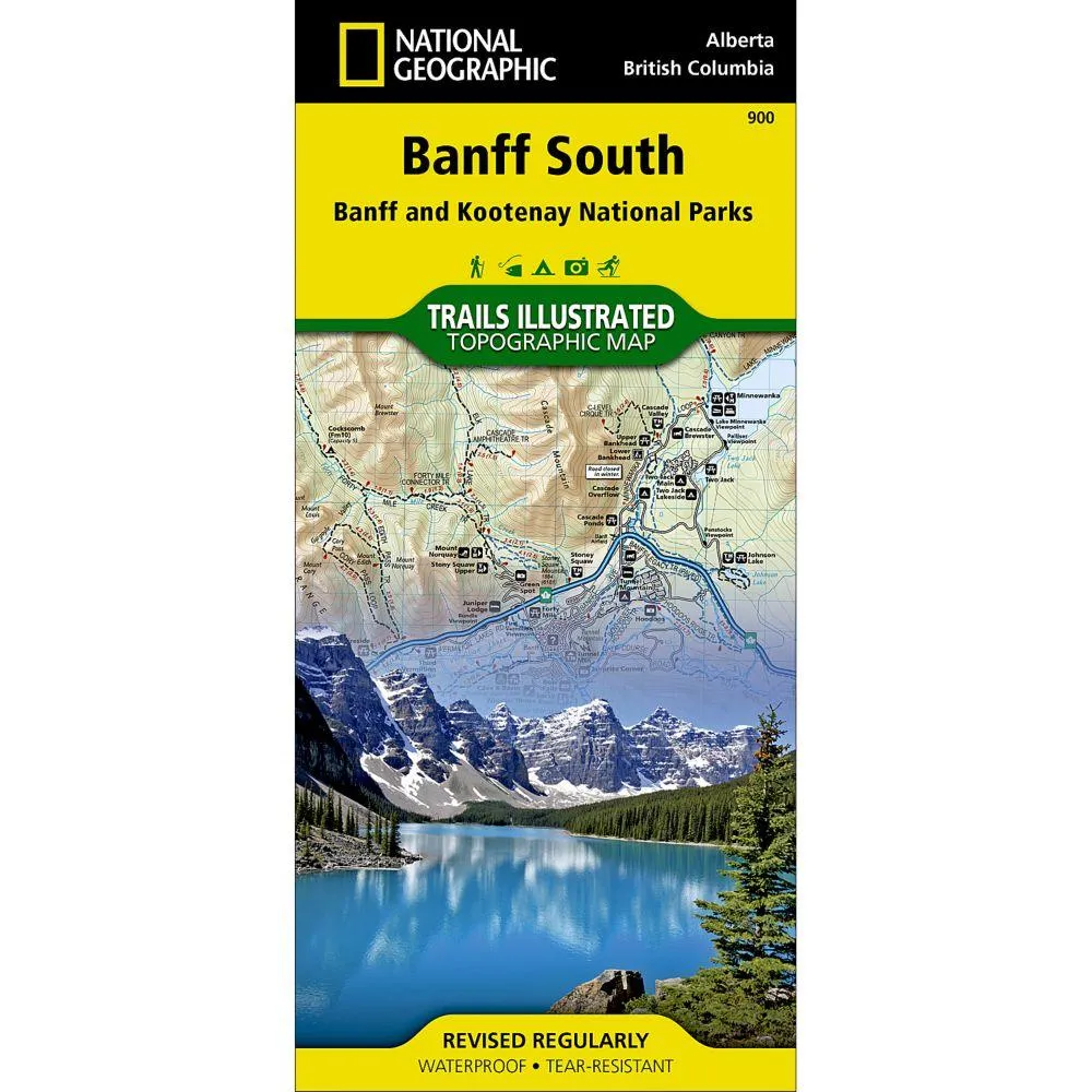

Description
Scale 1:100,000
More than just a map, National Geographic Trails Illustrated topographic maps are designed to take you into the wilderness and back. Printed on tear-resistant, waterproof material, this map can go anywhere you do. Each map is based on exact reproductions of USGS topographic map information, updated, customized, and enhanced to meet the unique features of each area. The maps include valuable wilderness tips and Leave No Trace guidelines, along with updated trails, trailheads, points of interest, campgrounds, and much more. With a new color palette and stunning shaded relief, backcountry navigation has never been easier.
The map covers the southern and eastern areas of Banff National Park including popular points of interest Lake Minnewanka, Bow River, Johnston Canyon and the town of Banff. The map also covers Kootenay National Park; Scalp Creek Nature Area; Panther Corner, Dormer Sheep and Ghost PLUZs; Wild Horse and Red Deer River Recreation Areas; Height of the Rockies, Don Getty and Bow Valley Wildland Provincial Parks; Ghost River Wilderness Area; and Mount Assiniboine.Explore the area by following the map to trailheads and then along precisely mapped trails, shown with distance markers in miles and kilometers and labeled for hiking, biking and horseback riding.