


Description
Ordnance Survey The Malverns To Wawickshire – OS Pathfinder Guide 74
Outstanding Circular Walks – 1:25,000 Scale
With 28 circular, graded walks all tried and tested by seasoned walkers, this Ordnance Survey walking guidebook for The Malverns and Warwickshire is ideal for both holidays and locals. The routes discovered in this guidebook are from 4.8 to 15km (3 to 9 miles), so there’s a choice for all abilities.
Each route includes a detailed description, the Ordnance Survey map for the route, GPS waypoints and key historical and landscape features.
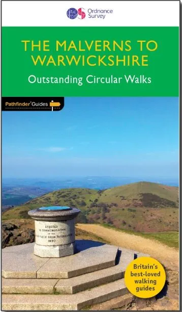
The area covered by this guide is characterised by gently rolling hills, verdant river valleys, wooded tracts, small market towns and an abundance of attractive villages with thatched cottages, medieval churches and fine old pubs.
The walks in this guide include the Warwickshire Beacon, the oddly-named Lickey Hills and Charlecote Park landscaped by ‘Capability’ Brown and allegedly where Shakespeare was once caught poaching.
Ordnance Survey’s OS Pathfinder Guides are Britain’s best-loved walking guides. Printed with weather-resistant covers featuring durable rounded corners, they are the perfect companion for country walking throughout Britain.
Ordnance Survey’s OS Pathfinder Guides contain:
* 28 easy to follow walks ranging in length from 3-10.5 miles – all clearly graded
* Large-scale Ordnance Survey route maps for each walk
* GPS waypoints for easy navigation
* Colour photography taken from points along each walk
* Facts about sights and points of interest visible along each route