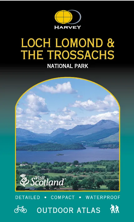
Description
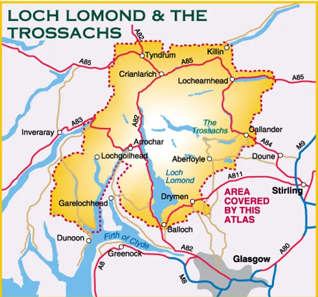
Loch Lomond and The Trossachs National Park Atlas
Mapping of the whole of Scotland’s first National Park in one handy book. When you get to the edge of the map, just turn the page!
Spiral bound to lie flat in the hand
Waterproof for outdoor use. Though not tearproof, the atlas pages are printed on latex impregnated paper, making them waterproof. If your Outdoor Atlas gets wet, just hang it up to drip-dry!
The detailed mapping at scale 1:40,000 is suitable for walkers and cyclists and other outdoor enthusiasts, and is a useful reference for residents and visitors.
The book is a handy size (14x24cm) for carrying in a mapcase, map pocket or bike map holder. 96 pages
Includes the National Grid and can be used with GPS.
Dispatch
We pride ourselves on providing a fast, efficient service and therefore we aim to dispatch all orders received before 4:00pm on the same day.
Next Day Delivery
We offer a free 24hr delivery service on all orders over £15. This guarantees you a 24-hour tracked delivery service via Royal Mail.
See our full delivery policy here.
The Dash 14 day – ‘No Questions Asked’ Returns Policy
Provided you return the item(s) to us in an unused and resaleable condition along with its original packaging…
We guarantee that if you change your mind for any reason within 14 days of purchase, you are free to return your item(s) to us for exchange or full refund on the product price
Beyond our 'No Questions Asked' period we will of course, happily accept items being returned as a result of damage or packing errors. In each of these cases we will provide you with a freepost address for the item(s) return.
See our full returns policy