

Description
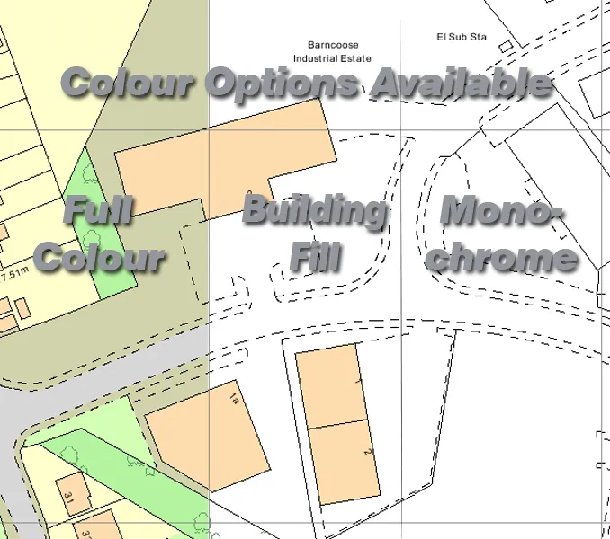
Location/Block Plans <p>The most common mapping data extract for building and planning applications. In a choice of scales ranging from 1:500 to 1:2500 we can supply the digital map to fit your needs.</p><p>Location Plan = 1:1250 Scale</p><p>Block Plan = 1:500 Scale</p><p>**Before purchasing your planning map, please be aware of the differences and uses in the guide below as customised mapping cannot be refunded:</p><p><strong>FORMAT GUIDE:</strong></p><p><strong>PDF</strong> format is the most popular format and provides the mapping extract in a template which includes all licence data and a North compass illustration ready to submit for planning. PDF versions can be supplied as hard copy by post (non vatable), or electronically supplied by email (vatable) and are non editable.</p><p>If you are unsure of the property’s postcode you can check it <a title=”Postcode Checker” href=”http://postcode.royalmail.com/portal/rm/postcodefinder;jsessionid=WRW5F5WTOULRWFB2IGJERWQ?catId=400145&pageId=pcaf_pc_search&_DAV=normal&_DARGS=/portal/rmgroup/apps/templates/html/postcode/oneResult.jsp_A&gear=postcode” target=”_blank”>here</a></p><p>For larger area coverage, customised digital mapping or further options, please contact our mapping team on 0845 634 62 66 who will deal with your request.</p><p>*Please note mapping coverage for Northern Ireland is not available</p>