

Description
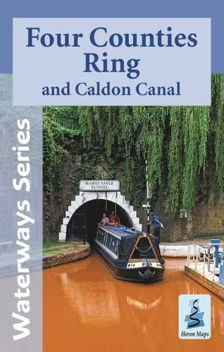
<p><span style=’color: rgb(68, 68, 68); text-transform: none; text-indent: 0px; letter-spacing: normal; font-family: “Nunito Sans”, sans-serif; font-size: 16px; font-style: normal; font-weight: 200; word-spacing: 0px; float: none; display: inline !important; white-space: normal; orphans: 2; widows: 2; background-color: rgb(231, 245, 254); font-variant-ligatures: normal; font-variant-caps: normal; -webkit-text-stroke-width: 0px; text-decoration-style: initial; text-decoration-color: initial;’>This map gives detailed coverage of the Four Counties Ring and Caldon Canal including the Shropshire Union Canal from Beeston to Autherley Junction, parts of the Staffordshire and Worcestershire Canal, and Trent and Mersey Canal, and the Middlewich Branch, with emphasis on the waterways and information useful and relevant to users of the waterways without neglecting other leisure users. The map detail is complimented by information panels and photographs.</span></p>