

Description
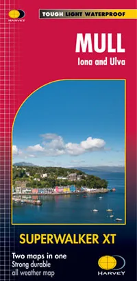
Harvey Superwalker XT25 Map – Mull Iona & Ulva
1:25,000 & 1:55,000 scale
More than a map, an essential piece of equipment – this new generation HARVEY Superwalker is designed to be the most practical tool for navigation outdoors.
- This new Superwalker XT contains two maps. The 1:25,000 scale walking map is based on original HARVEY mapping with all the information a walker would expect on a map at 1:25,000 scale. The 1:55,000 recreation map of the whole island and Ulva is on the reverse.
- 1 Munro, 1 Corbett and 7 Grahams on one sheet. Also included is an enlargemnet of Iona at 1:25,000. This format gives more mapping on the sheet without making the map heavy and bulky. The fold has been developed to allow you to open directly to any part, and either sideof the sheet easily – no more struggling in the wind.
- The clarity of the mapping has been improved to enable more people to read it without their glasses. The map is uncluttered by information irrelevant to the walker.
- The precise contouring and delicate hill shading give an immediate picture of the ground. Less than half the weight of a laminated map. GPS compatible
Experience the satisfaction of fine navigation with the Superwalker XT25 now printed on our 100% waterproof and almost indestructible paper, whatever the weather!