


Description
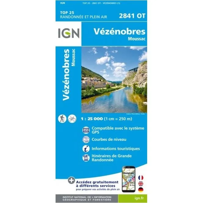
IGN TOP 25 / Series Blue sheet 2841 OT. This map covers Vézénobres / Moussac area of France
About the map Series
IGN’s (Institut Géographique National) TOP25 / Série Bleue is a set of 1:25,000 scale topographic maps covering France and are the French equivalent of Ordnance Survey maps.
Please note that this map series is being revised. The format and presentation are indicated by the letters at the end of the four digit sheet reference number (ET, OT, OTR, SB etc. – please see below).
TOP 25
Ending in ET or OT. Single-sided covering approx. 29×21 km / 18×13 miles.
Ending in ETR or OTR. These are the waterproof and tear resistant version of the above but on a smaller doubles sided sheet.
All include an English legend, tourist information and highlight walking trails including long-distance GR routesm Ski routes (If relevent) and cycle routes.
Série Bleue (Series Blue)
Ending in SB. A single-sided map with full tourist information covering approx. 29x24km / 18×15 miles. Includes an English legend, tourist information and highlight walking trails including long-distance GR routes, Ski routes (If relevent) and cycle routes.
Ending In E (East) or O (West). Single-sided map covering approx. 14x20km / 9×12 miles. The map legend is in French only and doesn’t include tourist information.