


Description
ITMB Map of Burkina Faso & Niger – Scale: 1:1,000,000/950,000
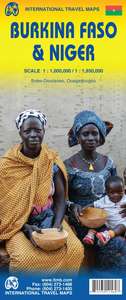
This double-sided map features Burkina Faso, at 1:1, 0, 000 on one side, with Niger, at 1:1, 950, 000 on the other. Burkina Faso, formerly known as the French territory of Haute Volta, is one of those quiet countries of Africa that never seem to hit the headlines. The map includes numerous photos and improved road information, provides by local travellers to what is actually one of the more interesting interior countries of the continent. Also includes inset maps of the capital Ouagadougoa and of Bobo-Dioulasso, the main trading city on the border with Mali.
The country of Niger spans the densely populated regions of the south, a colourful melting pot of cultures, and the hostile desert landscape of the north, featuring some of the most stunning sand dunes in Africa. Transport options for travellers are a particular feature of the guide, including long-distance connections to neighbouring countries, river trips on the River Niger and camel trekking in the Massif de Air and Tenere desert regions, home to the nomadic Tuareg people.