

Description
The A-Z Adventure Series of maps combines the best of OS and A-Z, creating the perfect companion for walkers, off-road cyclists, horse riders and anyone wishing to explore the great outdoors.
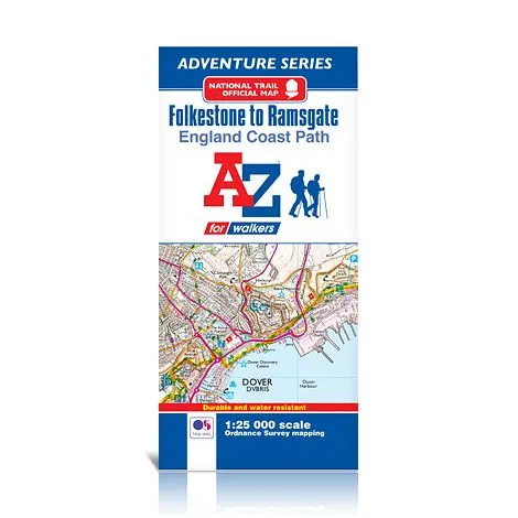
The England Coast Path is a new National Trail around England’s coast. More than just a path, it represents a new right of way that gives everyone the legal right to explore the coast for the very first time. Opening in sections, the England Coast Path is scheduled to complete in 2020.
This official Folkestone to Ramsgate Adventure Map covers a 36.5 mile (59 km) section of the England Coast Path. Following the south east Kent coastline, the path features exhilarating cliff top sections along the iconic White Cliffs of Dover and a flat section from Deal, which goes on to sweep around the expanse of Pegwell Bay.
This water resistant sheet map is double sided with Ordnance Survey 1:25,000 mapping showing the new coastal access verge. The path is clearly highlighted in yellow with mileage markers to gauge distances when planning sections of the walk to enjoy. The map folds down to a handy DL size.
A useful gradient profile for the section of path is included.