

Description
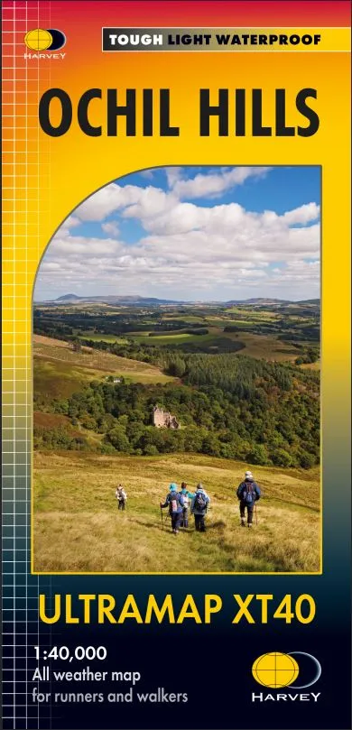
Harvey Ultra Map XT40 – Ochil Hills – XT40
Covers a large area yet is handily compact. Pocket perfect!
Detailed map for runners and walkers of Ochil Hills at the magic scale of 1:40,000.
The Ochil Hills; Scottish Gaelic: Monadh Ochail is a range of hills in Scotland north of the Forth valley bordered by the towns of Stirling, Alloa, Kinross, Auchterarder and Perth.
Well known hills are Dumyat, Ben Cleuch and Castle Craig Hill. Magnificent views over the Forth Valley.
Places of interest and enlargements of the steep and narrow glens: Alva Glen, Mill Glen and Dollar Glen.
- The Ultramap is fully detailed, genuine, original HARVEY mapping.
- To provide the biggest area on the smallest, lightest sheet, the Ultramap is printed
double sided. The ingenious folding pattern allows you to open the Ultramap
directly to any part, and either side, of the sheet. - The two sides are aligned, so when you reach the edge of the Ultramap sheet you
simply flip it over without re-folding. There’s an overlap as well, so you can map read
continuously. - The magic scale of 1:40,000 enables the Ultramap to provide all the detail you would
expect to find on a large scale walking map, including rights of way and boundaries. - Experience the satisfaction of fine navigation with the ULTRAMAP XT40 now printed
on our 100% waterproof and almost indestructible paper, whatever the weather!
Technical Specification
Scale: 1:40,000
Ratio: 2.5cm = 1km
Flat size: 870 x 304mm
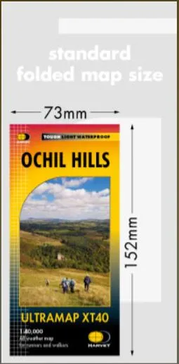
Folded size: 73 x 152mm
Weight: 25gms
Area of mapping: 718sqkm
Double sided