

Description
A-Z Adventure Series of maps combines the best of OS and A-Z, creating the perfect companion for walkers, off-road cyclists, horse riders and anyone wishing to explore the great outdoors.
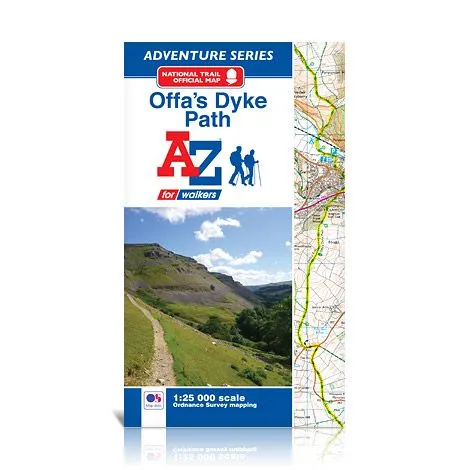
Offa’s Dyke Path is a National Trail skirting the English/Welsh border. The 177 mile (285km) path is named after, and often follows, the spectacular 8th century Offa’s Dyke. The trail links Sedbury Cliffs near Chepstow with the coastal town of Prestatyn, crossing the border over 20 times along the way. The route on the map is clearly highlighted in yellow with mileage markers to gauge distances when planning sections of the walk to enjoy.
This official National Trail Map* of Offa’s Dyke Path features 52 pages of continuous Ordnance Survey 1:25000 mapping, providing complete coverage of the Offa’s Dyke Path. The atlas includes a route planner showing distances between places and the amenities available, featuring:
- Information Centres
- Hotels/B&Bs
- Youth Hostels
- Campsites (seasonal opening)
- Public Houses
- Shops
- Restaurants
- Cafes (seasonal opening)
- Petrol Stations
A-Z Adventure Atlases include a comprehensive index to towns, villages, natural features, nature reserves, car parks and youth hostels. Each index entry has a page reference and a six figure National Grid Reference.
QR codes give smart phone users quick and easy access to a broad range of helpful web sites, including temporary route updates from the National Trails, regional information, map reading advice and weather reports etc.