

Description
The A-Z Adventure Series of maps combines the best of OS and A-Z, creating the perfect companion for walkers, off-road cyclists, horse riders and anyone wishing to explore the great outdoors.
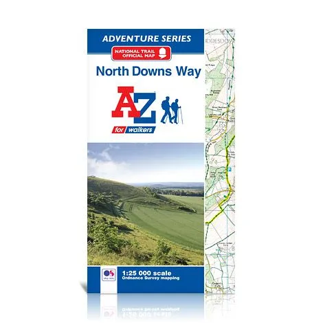
The North Downs Way is a National Trail along the upland downs of Surrey and Kent, passing through areas of outstanding natural beauty with spectacular scenery along the way. Beginning in Farnham, the 209 km (130 mile) path traverses the rolling countryside to the historic pilgrim city of Canterbury and beyond, to the White Cliffs of Dover. A southern section of the trail branches off through Wye to give a shorter, more direct, way to Dover which can be tackled either as an alternative route or as an additional section to add on at the end! Clearly highlighted in yellow, the route is easy to identify, standing out from the many other footpaths shown. In addition mileage markers have been added, making it easy to gauge distances when planning sections of the walk to enjoy.
This A-Z Adventure Atlas of the North Downs Way features 62 pages of continuous Ordnance Survey mapping providing complete coverage of the North Downs Way. This atlas includes a route planner showing distances between places and the amenities available, featuring:
- Information Centres
- Hotels/B&Bs
- Youth Hostels
- Campsites (seasonal opening)
- Public Houses
- Shops
- Restaurants
- Cafes (seasonal opening)
- Petrol Stations
Also featured is advice on safety and security when walking or mountain biking and a selection of QR codes linked to useful websites.
This A-Z Adventure Atlas has the accuracy and quality of OS 1:25000 mapping indexed within a book, making it the perfect companion for walkers, off-road cyclists, horse riders and anyone wishing to explore the great outdoors.