

Description
<p>The <strong>A-Z Adventure Series</strong> of maps combines the best of OS and A-Z, creating the perfect companion for walkers, off-road cyclists, horse riders and anyone wishing to explore the great outdoors.</p>
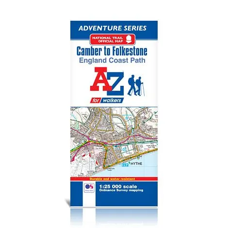
<p>The <b>England Coast Path </b>is a new National Trail around England’s coast. More than just a path, it represents a new right of way that gives everyone the legal right to explore the coast for the very first time. Opening in sections, the England Coast Path is scheduled to complete in 2020.</p>
<p>This official Camber to Folkestone Adventure Map covers a 29 mile (47 km) section of the England Coast Path. Beginning in East Sussex, the majority of the path follows the southern Kent coastline. There are expansive views, sand and shingle beaches, unique habitats and heritage buildings, including Martello Towers, along the way.</p>
<p>This water resistant sheet map is double sided with Ordnance Survey 1:25,000 mapping showing the new coastal access verge. The path is clearly highlighted in yellow with mileage markers to gauge distances when planning sections of the walk to enjoy. The map folds down to a handy DL size.</p>
<p>A useful gradient profile for the section of path is included.</p>
<p> </p>
<p> </p>