

Description
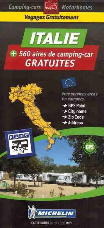
Italy Map – Motorhome Stopovers
scale of 1: 400 000 (1cm = 4km, 1 inch = 10.16 miles).
It identifies more than 560 free parking and service areas for motorhomes across the country, which are then listed on the back of the sheet map by place name. Each listing includes GPS coordinates in the format: 46,95889N//0,10500E as well as a grid reference to help you find the stopover on the map itself. The listing also includes a symbol to tell you whether the area is an Aire, parking area, campsite, 4×4 stop or bivouac and another symbol denoting whether it is pay or free.
Index of Free Aires :
– Listing ranked by department and filed alphabetically by city
– Number and name of the department
– Town name – Postal Code – Full address – GPS coordinates in 2 sizes
– Grid to quickly locate the free area or free parking on the map
Scale 1:1 000 000 (1cm=10km)
Key Features:
• Service areas for campers
• GPS coordinates for each location
• Road types identified (from motorway to roads under construction)
• Typical Michelin road information (such as steep hills, width and height restrictions and toll roads)
• Tourist attractions and facilities identified, including the location of weekly markets
• Symbols key in English, French, German amd Spanish.