

Description
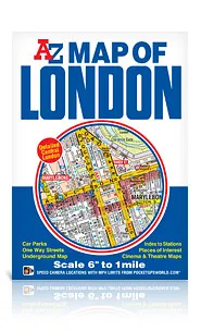
A-Z Map of London
6 inches to 1 mile (1:10560 scale)
This A-Z Map of London is a full colour, fold-out street map of central London covering the Congestion Charging Zone and an area extending to:
- Maida Vale
- Regent’s Park (part)
- St. Pancras International Station
- Shoreditch
- Tower Bridge
- Bermondsey (part)
- Walworth
- The Oval Cricket Ground (Kennington)
- Chelsea
- Kensington
- Bayswater
Printed at a clear 6 inches to 1 mile (9.47 cm to 1 km) the map features postcode districts, one-way streets and safety camera locations with maximum speeds.
Also included are maps of:
- London Underground (central area)
- West End Cinemas
- West End Theatres
Attached to the cover is an index booklet listing streets, selected flats, walkways and places of interest, place and area names, hospitals and hospices, National Rail, Docklands Light Railway, Underground and Overground stations and River Bus Stops covered by this map.
This is the perfect central London sheet map published at a clear 6 inches to 1 mile scale.