


Description
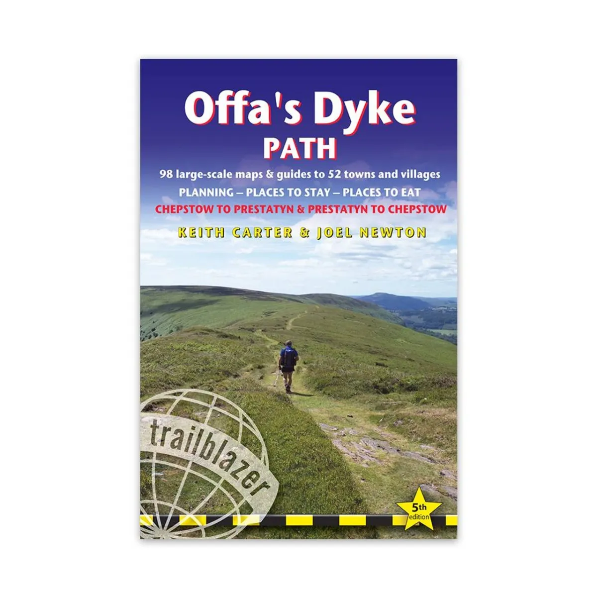
Trailblazer – The Offa’s Dyke Path: Prestatyn to Chepstow
The Offa’s Dyke Path is a superb National Trail that runs from the North Wales coast to the Severn Estuary following the line of Offa’s Dyke, an impressive 8th-century earthwork along the English/Welsh border. The ever-changing landscape – the Clwydian Range, the Shropshire Hills, the Black Mountains and the Wye Valley – is steeped in history and legend providing 177 miles (285km) of fascinating walking.
Latest edition entirely rewalked with all accommodation and each place to eat fully checked.
- Includes 98 detailed walking maps: the largest-scale maps available At just under 1:20,000 (8cm or 3-⅛ inches to 1 mile) these are bigger than even the most detailed walking maps currently available in the shops.
- Unique mapping features Walking times, directions, tricky junctions, places to stay, places to eat, points of interest. These are not general-purpose maps but fully-edited maps drawn by walkers for walkers.
- Itineraries for all walkers Whether hiking the entire route or sampling highlights on day walks or short breaks.
- Detailed public transport information for all access points.
- Practical information for all budgets What to see, where to eat (cafés, pubs and restaurants); where to stay (B&Bs, hotels, bunkhouses, hostels & campsites).
- Downloadable GPS points now included.