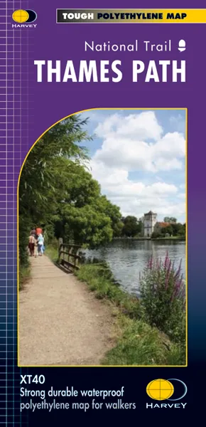


Description
Thames Path National Trail The Thames Path follows the banks of the river for 184 miles (294KM) fromthe flood barrier at Woolwich in South East London to Kemble Gloucestershire. It is a long distance walking route, most of it cannot be cycled. The Trail passes through water meadows, historic towns & lovely villages. The path is flat which makes for easy walking. Jos Joslin National Trails Manager (Marketing & Projects) said of this map “Really beneficial to have the whole length of the Thames Path upstream of London on just one map. Clear mapping and useful information makes this a very practical map” XT40 New generation of tough polyethylene mapsThe HARVEY series of Long Distance Route maps is an established success. Now the advanced technology used in the creation of our best-selling British Mountain Maps is also applied to the route maps. These maps are a leap forward in technical excellence. They are tough, durable, light and 100% waterproof – virtually indestructible in normal use.They are light to carry, and compact – not the great bulky package you get with a laminated map.
The map is detailed, with the routes clearly marked. It also contains general information, useful telephone numbers and a full key.
Main Points at a glance
· Detailed, clear and easy to read· Information on accommodation and services· Printed on tough waterproof, tearproof paper· Light to carry – less than half the weight of a laminated map· Good value – whole route on one map
Scale = 1:60,000