Description
Best Scale 1:1000000
Unfolded Size Height (mm) 700 mm
Unfolded Size Width (mm) 1000 mm
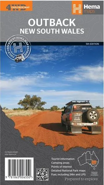
A regional map of outback NSW (1:1,100,000) that ranges from Tamworth in the east to Broken Hill in the west, as well as from Wagga Wagga in the south to past the Queensland border in the north. On the opposite side is extensive information on numerous regions, including visitor, historical and background information. Covered regions include the Broken Hill region, Corner Country, east of Tibooburra, the White Cliffs region, Cobar and surrounds, around Back o’Bourke, Lightning ridge and surrounds, Wentworth region, Balranald, Griffith region, Dubbo and surrounds, Kinchega National Park, Mungo National Park, Sturt National Park and Mutawintji National Park.
Detailed National Park Maps
Tourist information
Camping areas
Points of interest
Dispatch
We pride ourselves on providing a fast, efficient service and therefore we aim to dispatch all orders received before 4:00pm on the same day.
Next Day Delivery
We offer a free 24hr delivery service on all orders over £15. This guarantees you a 24-hour tracked delivery service via Royal Mail.
See our full delivery policy here.
The Dash 14 day – ‘No Questions Asked’ Returns Policy
Provided you return the item(s) to us in an unused and resaleable condition along with its original packaging…
We guarantee that if you change your mind for any reason within 14 days of purchase, you are free to return your item(s) to us for exchange or full refund on the product price
Beyond our 'No Questions Asked' period we will of course, happily accept items being returned as a result of damage or packing errors. In each of these cases we will provide you with a freepost address for the item(s) return.
See our full returns policy