

Description
Scale = 1:100,000
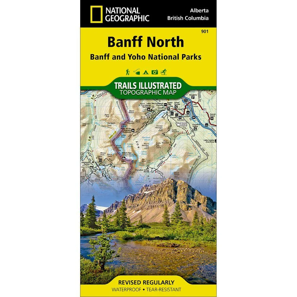
More than just a map, National Geographic Trails Illustrated topographic maps are designed to take you into the wilderness and back. Printed on tear-resistant, waterproof material, this map can go anywhere you do. Each map is based on exact reproductions of USGS topographic map information, updated, customized, and enhanced to meet the unique features of each area. The maps include valuable wilderness tips and Leave No Trace guidelines, along with updated trails, trailheads, points of interest, campgrounds, and much more. With a new color palette and stunning shaded relief, backcountry navigation has never been easier.
the map covers the northern and western areas of Banff National Park as well as Yoho and Kootenay National Parks, Siffleur and White Goat Wilderness Areas, Kootenay Plains Provincial Park and the southeastern tip of Jasper National Park. Many popular recreation points of interest are shown, including Lakes Louise and O’Hara as well as the scenic Icefields Parkway, displayed with distance markers.Explore the area by following the map to trailheads and then along precisely mapped trails, shown with distance markers in miles and kilometers and labeled for hiking, biking and horseback riding.