


Description
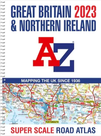
A-Z Great Britain Super Scale Road Atlas – A3 Spiral Bound
Scale: 2.5 miles to 1 inch (1.58km to 1cm)
This A-Z map of Great Britain and Northern Ireland is a full colour, large scale, spiral bound road atlas approximately A3 in size.
Awarded BEST BUY 2017 by Auto Express Magazine
- Fully updated for 2020
- 176 pages of clear detailed road mapping at a mainland map scale of 2.5 miles to 1 inch
- 11 pages of main route mapping covering Greater London, Birmingham and Manchester
- Route planning maps
- Mileage chart with average journey times
- Information on motorway junctions with limited interchanges
- 70 city and town centre street plans
- 16 port and airport plans
- Channel Tunnel terminus maps
- Index to cities, towns, villages, hamlets and major destinations
- Index to selected places of interest with postcodes for satnav use
- Map reference information also in French and German
Instantly recognizable and easy to use, A-Z road mapping includes the following features:
- Clear standard road classification colours for easy identification
- Full motorway junction detail
- Under construction and proposed roads
- Primary route destinations
- Service areas
- Hill shading sourced from Geo-Innovations©
- Selected safety camera locations with maximum speed limits sourced from PocketGPSWorld.com
- Selected fuel stations
- Selected truckstop locations
- National and county boundaries
- A wide range of tourist and ancillary information, including Blue Flag Beaches
A combination of a great map scale, large book size and a spiral binding makes this a popular choice for those wanting superb map clarity in an easy to keep open publication.