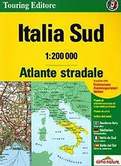


Description
Southern Italy 1:200,000 ITC (Touring Club Italiano) map.
One of 3 in the series covering Italy at this scale. This water & tear resistant, lightweight paper map
conveniently groups together a number of popular holiday areas.
The maps very effectively present the country’s topography with attractive
- Map legend includes English.
- Altitude colouring
- Names of hill and mountain ranges, valleys, etc
- Spot heights for selected peaks
- National parks and scenic routes are highlighted
- Towns, villages clearly marked
- Historical and architectural sites
- Holiday resorts, accommodation, hotels, refuges, tourist villages and campsites are included
As you would expect from a map of this type, churches, monasteries, castles, palaces, ruins and archaeological
sites, caves and waterfalls, etc are all shown.
Road network stands out clearly against the background information. Railways, ferry routes and the country’s
regional and provincial boundaries are marked. These maps do not provide an index or geographical coordinates.