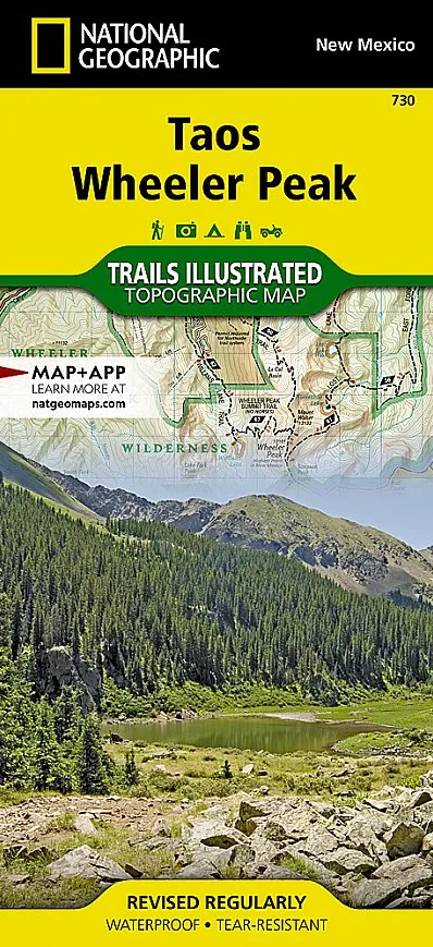


Description
Scale = 1:63,360
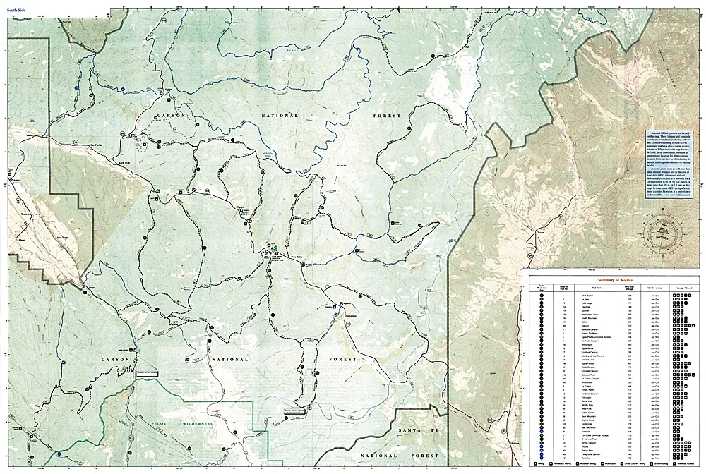
More than just a map, National Geographic Trails Illustrated topographic maps are designed to take you into the wilderness and back. Printed on tear-resistant, waterproof material, this map can go anywhere you do. Each map is based on exact reproductions of USGS topographic map information, updated, customized, and enhanced to meet the unique features of each area. The maps include valuable wilderness tips and Leave No Trace guidelines, along with updated trails, trailheads, points of interest, campgrounds, and much more. Some of the many key areas of interest included are Carson National Forest; Rio Grande Del Norte National Monument; portions of Rio Honda and Red River; Coyote Creek State Park; Wheeler Peak and Latir Peak wilderness areas; Eagle Nest Lake State Park; Colin Neblett State Wildlife Area; and Taos Pueblo, a UNESCO World Heritage Site.With miles of mapped trails including Columbine Twining National Recreation Trail and select mountain bike routes, this map will prove handy in guiding you off the beaten path and back again. Trail mileage between intersections will help you choose the path that’s right for you. The Wild Rivers and Enchanted Circle scenic byways are noted for those wishing to take in the scenery by car. Recreation features are clearly marked, including campgrounds, trailheads, interpretive trails, fishing areas, boat ramps, whitewater access, horse camps, and ski areas. The map base includes contour lines and elevations for summits, passes and lakes. With a new color palette and stunning shaded relief, backcountry navigation has never been easier.