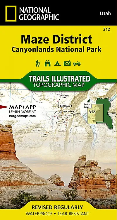


Description
•Approximately 4″ x 7 1/5″ folded; 25 1/5″ x 37 3/4″ fully opened
•Scale: 1:35,000
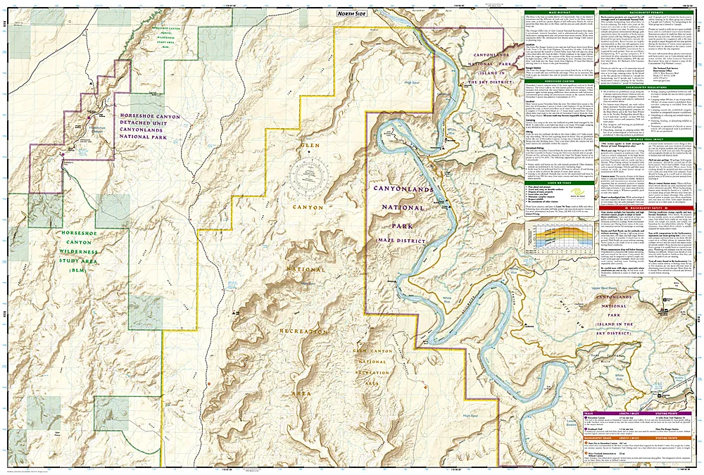
More than just a map, National Geographic Trails Illustrated topographic maps are designed to take you into the wilderness and back. Printed on tear-resistant, waterproof material, this map can go anywhere you do. Each map is based on exact reproductions of USGS topographic map information, updated, customized, and enhanced to meet the unique features of each area. The maps include valuable wilderness tips and Leave No Trace guidelines, along with updated trails, trailheads, points of interest, campgrounds, and much more. Key areas of interest featured on this map include Colorado and Green rivers; Cataract, Stillwater, and Horseshoe canyons; Land of Standing Rocks; Orange Cliffs; and a large portion of the adjacent Glen Canyon National Recreation Area.The map base includes contour lines and elevations for summits. Trails and roads include mileage between intersections, and river mileage is noted as well for those exploring by boat. Road types are differentiated so you know if the route you choose is a four-wheel-drive or high-clearance road. Mountain bike routes are color-coded according to difficulty.With a new color palette and stunning shaded relief, backcountry navigation has never been easier.
This sectional map of Canyonlands National Park zooms in on the Maze District in the western area of the park and provides more detail of this area than the full Canyonlands National Park map with an enhanced scale. The map includes trail and backcountry road charts, backcountry zones and campsites, trail and road mileages, as well as backcountry permit and regulations information.