

Description
Goldeneye Peak District Cycling Map Guide
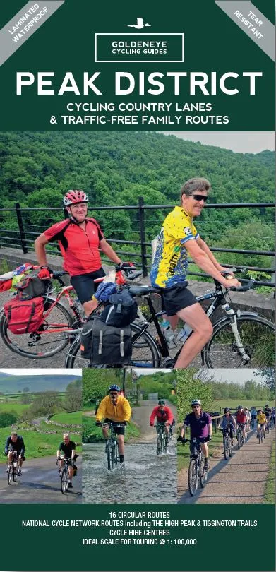
Cycling Country Lanes & Traffic-Free Family Routes
The Goldeneye Cycling Country Lanes series provides clear, easy to use and easy to follow cycling maps which Illustrates: a) Commissioned circular routes in purple. b) Traffic-Free Family Cycling Trails (e.g. The Granite Way, Camel Trail, High Peak Trails), and c) The National Cycle Network routes (e.g. NCN27, NCN1 etc). Working very closely with Sustrans (The National Cycle Network) to provide their up-to-date routes. The scale of this series mapping (from 1:100,000 to 1:126,720) is designed to be ideal for touring the UK’s cycle paths and minor roads. Goldeneye have been producing these maps for the past 15 years in which time received some wonderful reviews from the Cycling Press
• 112mm x 240mm
• Matt laminated for foul-weather protection
• Ideal scale for touring (1:100,000)
• 16 circular routes overprinted on the Map
• Traffic-Free Family Cycling Trails: Five Pits Trail, High Peak Trail, Manifold Track, Middlewood Way, Monsal Trail, Sett Valley Trail and the Tissington Trail.• National Cycle Network routes: The Pennine Cycleway, NCN 68, The Trans Pennine Trail, NCN 62 and the Derby to Burton link, NCN54, all cross the Peak District.
• 9 Cycle Hire Centres
The Peak District is a remarkable place – from the north, the upturned horseshoe of high, gritstone moors and crags of the Dark Peak extend southwards to the east and west of the contrasting limestone plateau of the softer pastoral landscape of the White Peak itself incised by the valleys of the Derbyshire Dales. These differing landscapes offer some of the best country lane cycling in Britain. In the Tissington, Manifold and High Peak Trails, the White Peak has some of the longest converted railway tracks in the country. A great way for families and inexperienced cyclists to enjoy traffic-free cycling.