
Description
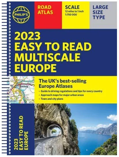
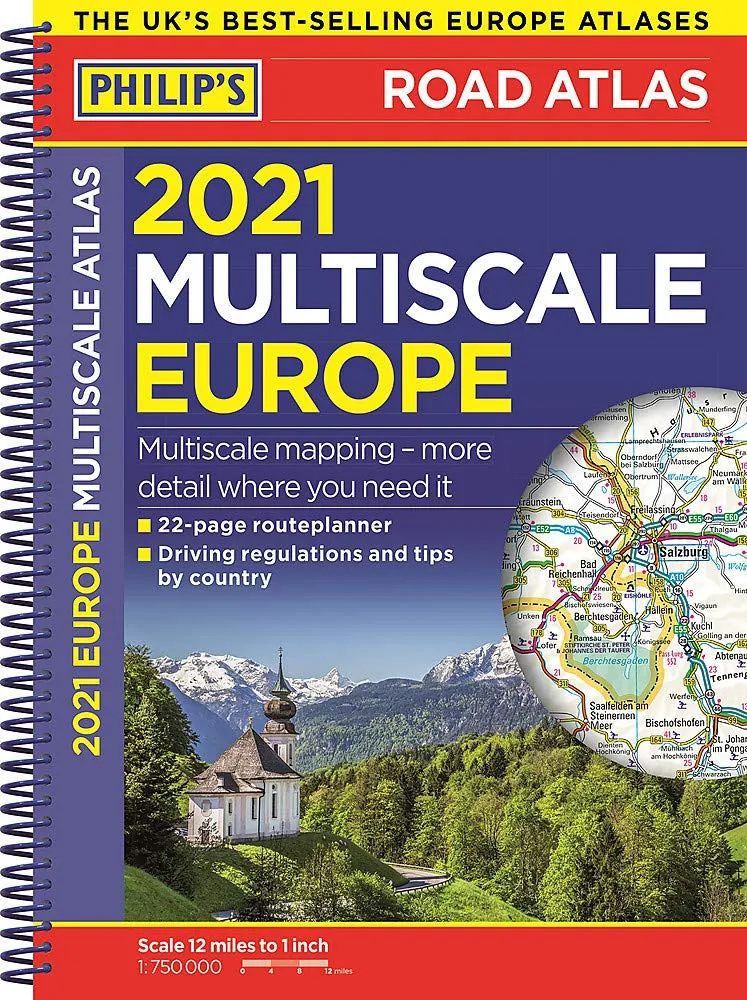
<p>A fully revised and improved new edition of Philip’s best-selling road atlas of Europe. The continental road network is shown at four different scales of maps, from 1:250,000 to 1:4,000,000 with ultra-clear detailed mapping for urban areas. </p><p>Now with scenic routes highlighted, theme parks and World Heritage sites shown, and larger-scale mapping of Scandinavia, Greece and western Turkey.This atlas gives more for leisure travellers than any comparable product, plus a unique fact-finder giving key statistics, currency and recent events for each country.</p><p> – Up-to-date driving regulations, including speed limits, for every country in Europe.</p><p> – Listings for ski resorts and top visitor attractions, country by country.</p><p> – 15 pages of route-planning maps which enable journeys of over 1,200 miles to be planned without turning a page.</p><p> – 103 pages of clear, detailed road maps, with scenic routes highlighted and toll, toll-free and pre-pay motorways all clearly marked. </p><p> – 24 large-scale urban area maps for Europe’s largest cities.</p><p> – 41 city-centre plans marking historic buildings and tourist attractions as well as car parks, head post offices and other facilities.</p><ul><li>The best selling Europe atlas in the UK according to Booktrack data (the official supplier of bookshop sales figures).</li></ul>