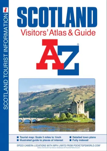


Description
Scale: 3 miles to 1 inch (2km to 1cm)
64 pages of detailed road mapping covers the whole of Scotland including the Inner and Outer Hebrides and the Orkney and Shetland Islands.
There are 20 town plans each with their own descriptive text, tourist information and listing of leisure attractions:
•Aberdeen
•Aviemore
•Ayr
•Dumfries
•Dundee
•Dunfermline
•Edinburgh, large scale map and street index
•Glasgow, large scale map and street index
•Falkirk
•Fort William
•Hamilton
•Inverness
•Kilmarnock
•Kirkcaldy
•Motherwell
•Oban
•Paisley
•Perth
•St. Andrews
•Stirling
Both road and town plan mapping clearly highlights places of interest and tourist attractions.
In addition, the practical needs of the motorist are not forgotten with full major road junction detail, motorways under construction and proposed, motorway service areas, primary routes and destinations, A & B roads, gradients 1:5 and steeper, tolls, mileages, national, county and unitary authority boundaries, spot heights and contour colouring, selected safety camera locations with their maximum speed limits and selected fuel stations are all shown on the mapping.
The index section includes a list of cities, towns, villages, hamlets and locations. There is a separate comprehensive places of interest index with the corresponding map symbol shown alongside each entry for easy identification.
This Visitors’ Atlas of Scotland is an ideal map with which to explore the bustling towns and cities or enjoy the spectacular and tranquil landscape this beautiful country has to offer.