Description
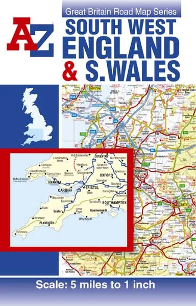
Scale: 5 miles to 1 inch (3.2km to 1cm)
This A-Z Map of South West England and South Wales is a full colour, single-sided, fold-out road map featuring continuous mapping south of Aberystwyth and Coventry and to the west of Kettering and Chichester. Also included is an inset map of the Isles of Scilly.
Map information includes:
•Motorways open with full junction detail, motorways under construction and proposed, service areas, primary routes and destinations, A and B roads, selected minor roads, gradients 1:5 and steeper, tolls, mileages, national and county boundaries, together with spot heights and hill shading
•Selected places of interest, tourist information centres and golf courses
•National Park boundaries
•Selected ancillary information
An index booklet is attached to the cover and this lists cities, towns, villages, hamlets and locations featured on the map.
Dispatch
We pride ourselves on providing a fast, efficient service and therefore we aim to dispatch all orders received before 4:00pm on the same day.
Next Day Delivery
We offer a free 24hr delivery service on all orders over £15. This guarantees you a 24-hour tracked delivery service via Royal Mail.
See our full delivery policy here.
The Dash 14 day – ‘No Questions Asked’ Returns Policy
Provided you return the item(s) to us in an unused and resaleable condition along with its original packaging…
We guarantee that if you change your mind for any reason within 14 days of purchase, you are free to return your item(s) to us for exchange or full refund on the product price
Beyond our 'No Questions Asked' period we will of course, happily accept items being returned as a result of damage or packing errors. In each of these cases we will provide you with a freepost address for the item(s) return.
See our full returns policy