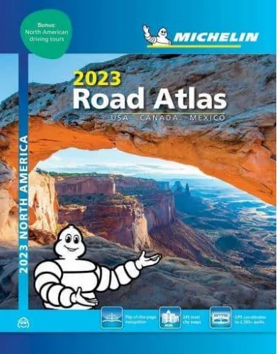


Description
Michelin North America A4 Spiral Bound Atlas
In addition of Michelin clear and accurate mapping, USA-Canada-Mexico road atlas features:
• Covers USA, Canada and Mexico. Scale 1:625,000 – 1:9,018,000.
• Spiral bound for lay-flat convenience.
• Six-page travel inspiration section containing Michelin-selected festivals and events across the US and Canada occurring throughout the year, developed from Michelin’s famed travel guides.
• 12 full pages of GPS coordinates to US and Canadian national, state & provincial parks.
• 1000+ travel center locations clearly indicated on atlas pages for convenient stops while en route.
• GPS-friendly; layout of tiled map pages complements online navigation systems.
• Tiled atlas is user-friendly, convenient and logical to use, offering continuity when driving.
• More than 240 large-scale city maps for navigating urban areas.
• Bonus Northeast Corridor maps provide extra detail between Boston and Washington DC for better navigation.
• Extensive 96-page place name index for rapid look-up.
• 100+ year history of mapmaking – recognized for accuracy and clarity.”