
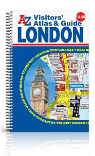

Description
Scale: 6 inches to 1 mile (9.5cm to 1km)
Visitor highlights and locations are clearly shown and include:
•Places of interest
•Buildings open to the public
•Tourist information centres
•Theatres and cinemas
•Selected stores, shops and main shopping streets
•Embassies
•Selected hotels
•Major roads, a selection of principal minor roads and footpaths, and bus routes including numbers
Public transport is another key feature of the mapping with main line and underground railway stations and bus routes with numbers. Major roads and a selection of principal minor roads and footpaths aid clear and simple navigation while on foot.
The guide section includes:
•Information about places of interest, museums and art galleries for both central and outer London, including a star rating system to highlight recommended visitor attractions.
•Information about pageantry, special tourist facilities, transport, places of worship, viewpoints and suggested walks around central London.
•Lists of West End cinemas, theatres, concert halls, opera and ballet houses, along with their addresses and nearest station and a section about ticket purchases.
In addition to a map of the London Underground (central area), a West End Theatres map and a West End Cinemas map are also included within this atlas.
The index section lists streets, embassies, legations, commonwealth representatives and hospitals covered by this atlas. This pocket sized A-Z London Visitors’ Atlas and Guide is ideal for tourists wishing to explore the many attractions central London has to offer.