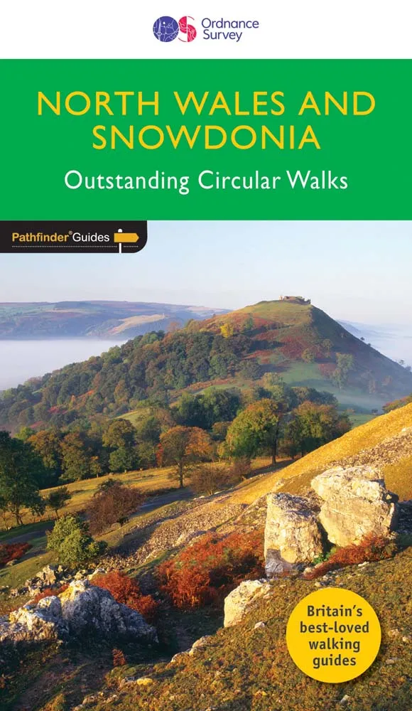
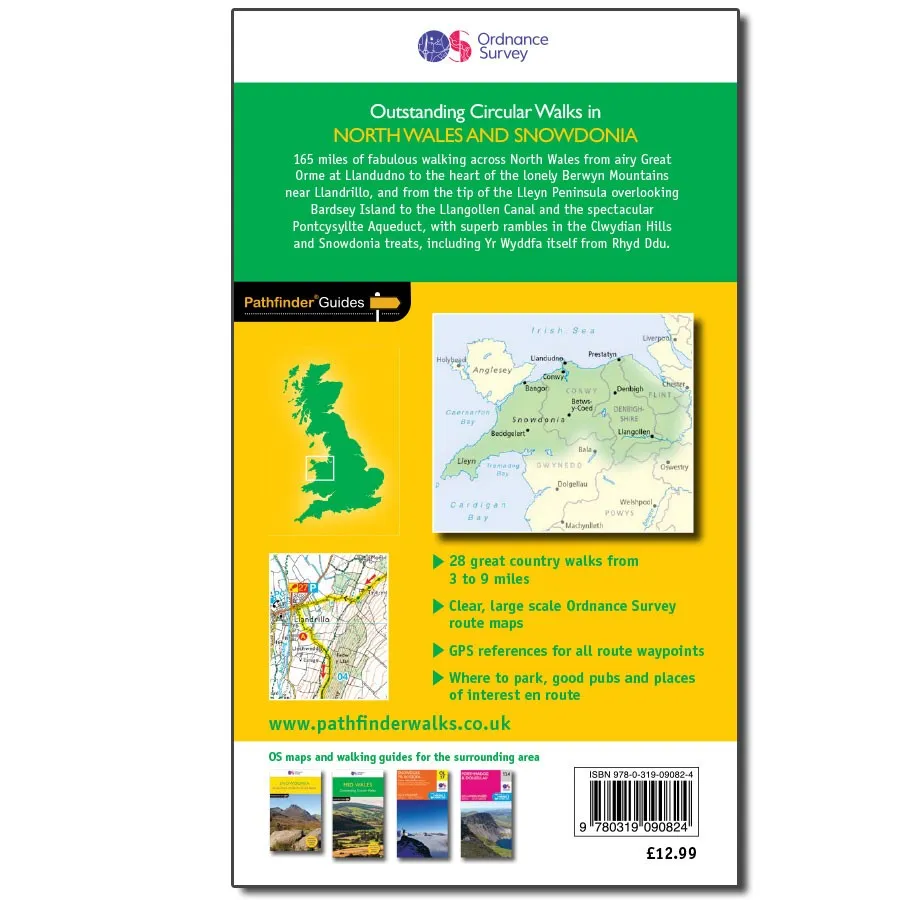

Description
Ordnance Survey North Wales, Snowdon & Offa’s Dyke – OS Pathfinder 32
Outstanding Circular Walks – 1:25,000 Scale
Immerse yourself in 28 beautiful walks across Hertfordshire & Bedfordshire with the OS Pathfinder Guidebooks, graded by length and ranging from 3.5 to 9 miles.
Overlooked by some, the area has fine walking country with a diverse terrain, gentle hilly regions, pleasant woodlands, attractive riverside landscapes, and an impressive collection of pretty villages.
The routes range from extended strolls to longer hikes, offering something for all levels! Each walk includes a detailed description, an OS map, GPS waypoints, and notes of key features and things to see.
Routes include exploration along the Greensand Ridge Walk, the Icknield Way Path, the Ouse Valley Way, the Lea Valley Walk, as well as the Grand Union Canal Walk, the Bunyan Trail, and a part of the Chilterns Way.
They also contain:
- Ordnance Survey mapping;
- background details of each area;
- details of refreshment stops and parking;
- walking safety advice; and
- information about walkers and the law.