

Description
ITMB Map of Yukon Territory – Scale: 1:400,000 / 1:1,500,000
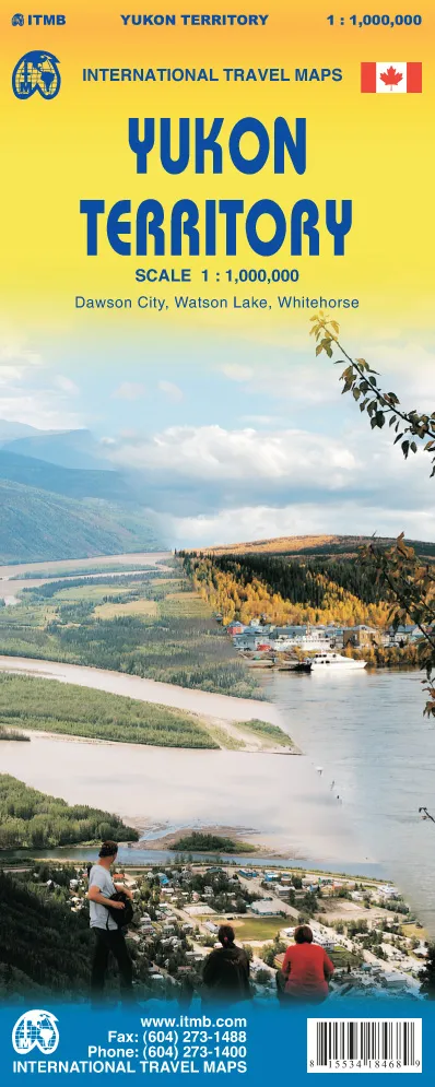
From MacKenzie bay and Tukoyaktuk south to the border with British Columbia, this double sided map of Yukon Territory depicting this remote but magical region. The Yukon is wild, but has all the mod cons, it is the land of the midnight sun in summer and frigidly cold in winter. It has gold and diamonds and historic towns and paddle steamers and wilderness to tempt the most jaded of souls! It is a wonderful, exotic part of Canada and one of the most popular travel destinations in North America; with inset maps of Whitehorse, Dawson City (site of the Gold Rush of 1898), and Watson Lake
Yukon retains a magical quality, due to its associations with gold and with the Alaska Highway, which passes through it. The road network is surprisingly good, considering the small population, but a word of caution should be added to note that the tracks on the map noted as being winter roads are not usable during the summer months.