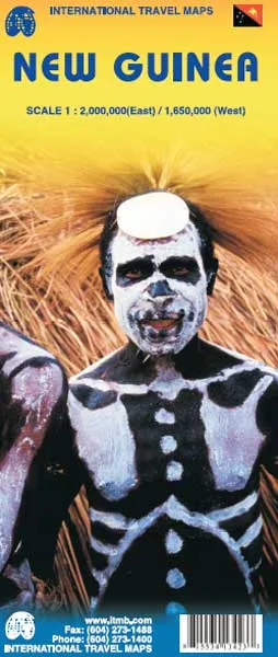
Description
ITMB Map of New Guinea – Scale: 1:2,000,000 (East)/1:1,650,000 (West)
The South Pacific island of New Guinea is divided between two countries: The eastern, and somewhat more developed half, is the Republic of Papua New Guinea, and the western portion is the Indonesian province of West Irian. One side of the map shows the eastern portion, along with the nearby islands of the Bismarck Archipelago and Bougainville Island of the Solomons. Whatever roads exist are shown, but most people fly from one destination to another. The West Irian side can best be visited by inter-island boats, as roads are few. Several other Indonesian islands are included on this side, of which Seram/Ceram and Ambon are probably the best known. Most of East Timor is shown as well. This is definitely an off the beaten path travel destination, but it sells surprisingly well!
Dispatch
We pride ourselves on providing a fast, efficient service and therefore we aim to dispatch all orders received before 4:00pm on the same day.
Next Day Delivery
We offer a free 24hr delivery service on all orders over £15. This guarantees you a 24-hour tracked delivery service via Royal Mail.
See our full delivery policy here.
The Dash 14 day – ‘No Questions Asked’ Returns Policy
Provided you return the item(s) to us in an unused and resaleable condition along with its original packaging…
We guarantee that if you change your mind for any reason within 14 days of purchase, you are free to return your item(s) to us for exchange or full refund on the product price
Beyond our 'No Questions Asked' period we will of course, happily accept items being returned as a result of damage or packing errors. In each of these cases we will provide you with a freepost address for the item(s) return.
See our full returns policy