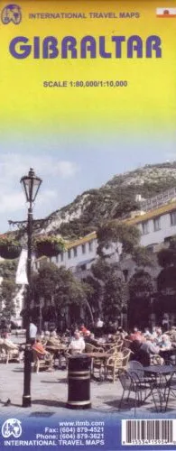
Description
ITMB Map of Gibraltar – Scale: 1:80,000/1:10,000
The main map covers The Straits of Gibraltar from Zahara de los Atunes (Spain) along the coast to Torre Nueva and inland to El Almarxhal and San Roque.
The African side of the Straits covers the coast from Palacio Real de Verano to Tangier, Ceuta and Restinga, and inland as far as Mongoga Quebira, Guezeilech and Ain-Lech.
Gibralter City is shown as a large inset map from the border to Punta de Europa with contour shading of the Rock of Gibralter.
This map is printed single-sided, on paper.
Dispatch
We pride ourselves on providing a fast, efficient service and therefore we aim to dispatch all orders received before 4:00pm on the same day.
Next Day Delivery
We offer a free 24hr delivery service on all orders over £15. This guarantees you a 24-hour tracked delivery service via Royal Mail.
See our full delivery policy here.
The Dash 14 day – ‘No Questions Asked’ Returns Policy
Provided you return the item(s) to us in an unused and resaleable condition along with its original packaging…
We guarantee that if you change your mind for any reason within 14 days of purchase, you are free to return your item(s) to us for exchange or full refund on the product price
Beyond our 'No Questions Asked' period we will of course, happily accept items being returned as a result of damage or packing errors. In each of these cases we will provide you with a freepost address for the item(s) return.
See our full returns policy