

Description
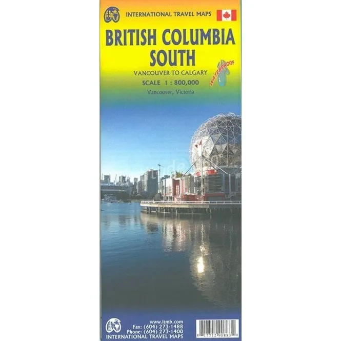
ITMB Map of British Colombia South – Scale: Scale: 1:800,000
This road map of British Columbia covers the area between Vancouver and Calgary, and is the perfect tourist map for exploring the Rocky Mountain region. All roads and railways between the two cities are shown, as are campsites and parks.
Legend Includes: Points of interest, airports, RV and camping sites, wilderness camps, picnic areas, waterfalls, tourist information, museums, golf courses, gas stations, outdoor activities, railways, trails, ferry routes, glaciers, points of interest, international airports, domestic airports, museums, mountain peaks, camping / recreation sites, RV camping / recreation sites, hot springs, protected areas / National Parks, picnic areas, skiing areas, hospitals / treatment centers, gas stations, rafting areas, paddling areas, hiking, golf courses, viewpoints, mountain biking, diving, beaches, fishing areas, boat launches etc.
Includes inset map or Downtown Victoria (1: 20,000), Downtown Vancouver (1: 13,000) and extensive place index.