


Description
Cicerone – The Offa’s Dyke Path Map Booklet
All the mapping you need to complete the Offa’s Dyke Path National Trail, the longest linear earthwork in Britain, running 177 miles along the English–Welsh border between Sedbury (near Chepstow) and Prestatyn on the north Wales Coast
NOTE: An accompanying Cicerone guidebook – Offa’s Dyke Path – describes the full route with lots of other practical and historical information. The accompanying guidebook includes a copy of this map booklet.
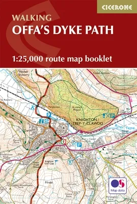
This booklet of Ordnance Survey 1:25,000 Explorer maps has been designed for convenient use on the trail. It shows the full and up-to-date line of the Offa’s Dyke Path, along with the relevant extract from the OS Explorer map legend. It is conveniently sized for slipping into a jacket pocket or top of a rucksack and comes in a clear PVC sleeve.
The walk is astonishingly varied, taking in the lower Wye gorge, the Severn and the Dee rift valley, the pastures and woodlands of the border country, the remote moorland of the Black Mountains and the Clwydian range, and the dramatic limestone escarpments of Eglwyseg mountain. What makes it even more special is over 60 miles walking alongside the Saxon earthwork of Offa’s Dyke, the path sometimes on the Dyke and sometimes alongside.
Activities
Walking, hiking, trekking, history, geology
Seasons
This walk is exceptional in all seasons, though the Black Mountains and Clwydian range deserve respect in winter conditions, and especially in mist, since there are few landmarks on the Black Mountain ridge
Centres
Chepstow, Hay-on-Wye, Kington, Bishops Castle, Montgomery, Welshpool, Oswestry, Llangollen, Denbigh, Prestatyn
Difficulty
The trail includes a couple of unavoidably long stages and there are some mountain and moorland stages, but the route poses no special difficulties and caters for walkers of all levels of ability provided that sensible advance planning is undertaken
Must See
Geology – limestone gorge of the lower Wye, igneous intrusions around Hergest ridge, Breidden Hills dolerite, limestone escarpments north of Llangollen Uplands – Black Mountain moorlands, remote Clun Forest, Clwydian ridge Lowlands – orchards and meadows, Montgomery canal, broad Severn valley Historical attractions – Tintern abbey and Llanthony priory, border castles, Pontcysyllte aqueduct