Description
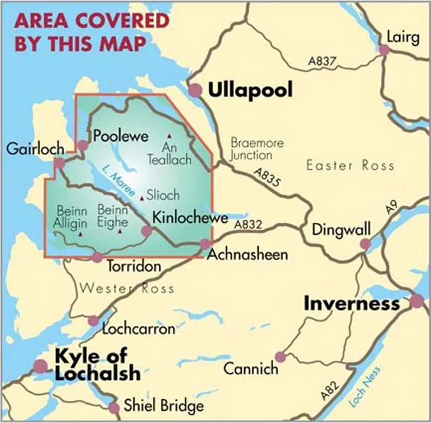
Torridon & Fisherfield British Mountain Map
“HARVEY British Mountain Maps are a joy to use. The detail and accuracy make them my first choice when I am researching a route or just out on the hills for fun”. Peter Macfarlane, outdoor writer and photographer.
Detailed map of the giants of Torridon and the remote hills of Fisherfield on one sheet at 1:40,000 scale.
Summit enlargements of Beinn Alligin, Beinn Eighe, Liathach and An Teallach.
Includes 18 Munros, 12 Corbetts and 9 Grahams.
Tough, light, durable and 100% waterproof
Genuine original HARVEY mapping
Dispatch
We pride ourselves on providing a fast, efficient service and therefore we aim to dispatch all orders received before 4:00pm on the same day.
Next Day Delivery
We offer a free 24hr delivery service on all orders over £15. This guarantees you a 24-hour tracked delivery service via Royal Mail.
See our full delivery policy here.
The Dash 14 day – ‘No Questions Asked’ Returns Policy
Provided you return the item(s) to us in an unused and resaleable condition along with its original packaging…
We guarantee that if you change your mind for any reason within 14 days of purchase, you are free to return your item(s) to us for exchange or full refund on the product price
Beyond our 'No Questions Asked' period we will of course, happily accept items being returned as a result of damage or packing errors. In each of these cases we will provide you with a freepost address for the item(s) return.
See our full returns policy