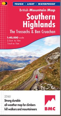
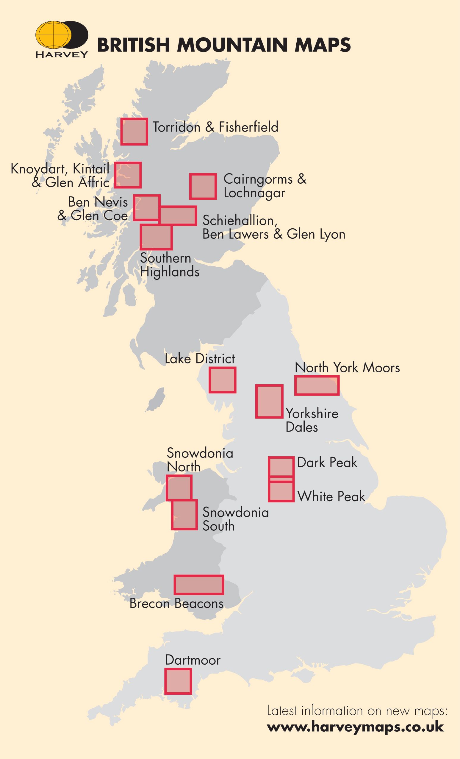
Harvey British Mountain Map - BMC - Southern Highlands
Our Price £15.72 With Free First Class Delivery On All Orders Saving £2.78 (15%)


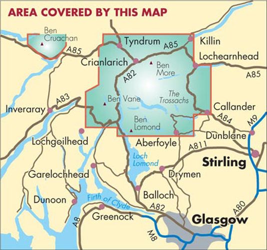
An area dense with popular hills close to Central Scotland and easily accessed from all motorways.
“Harvey maps are the clearest, and the most accurate. They don’t fall apart in the rain and the geology bits on the back are pure bonus.” Ronald Turnbull XT40 New generation of tough polyethylene mapsThese maps are a leap forward in technical excellence. Tough, durable, and 100% waterproof, they are compact and light to carry This all-weather British Mountain Map for climbers, hill walkers, mountaineers and mountain bikers is published by HARVEY in cooperation with the British Mountaineering Council and the Mountaineering Council of Scotland The colourful geological map on the back is specially designed by the British Geological Survey. Scale = 1:40,000
Key points at a glance
63 popular hills over 2000’
Climbing Crags highlighted and named
Covers most of the Loch Lomond & Trossachs National Park
Colour shading for easy identification of hills and valleys
Printed on polyethylene – durable, tearproof and 100% waterproof
Less than half the weight of a laminated map
The reverse side of the map includes:
Map extension covering Cruachan
Geological map
Mountain incident, first aid and navigation advice
| Series | British Mountain Maps |
|---|---|
| Activity | Walking |
| Brand | HARVEY |
| Continent | Europe |
| Country | Scotland |
| Region | Highland |
Dispatch
We pride ourselves on providing a fast, efficient service and therefore we aim to dispatch all orders received before 4:00pm on the same day.
Free Delivery
We offer a free 1st class delivery service on all orders. This gaurantees you a 1-2 day delivery service via Royal Mail.
Need it fast?
we offer a selection of shipping upgrades at the checkout stage.
- Expedited Shipping - Royal Mail 1st Class: FREE
- Next-Day Courier Shipping - 24hr Courier Service: £6.95
The Dash 14 day – ‘No Questions Asked’ Returns Policy
Provided you return the item(s) to us in an unused and resaleable condition along with its original packaging…
We guarantee that if you change your mind for any reason within 14 days of purchase, you are free to return your item(s) to us for exchange or full refund on the product price
Beyond our 'No Questions Asked' period we will of course, happily accept items being returned as a result of damage or packing errors. In each of these cases we will provide you with a freepost address for the return of the item(s).