
Chart Series


Which Chart Should I Choose?
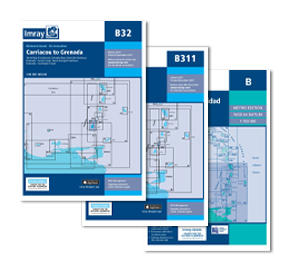
Imray A, B & D series marine charts cover the oceans and islands of the Caribbean
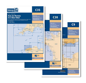
Imray C series marine charts cover the UK coastal areas in detail
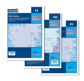
Imray E series nautical marine charts cover the Atlantic Islands oceans and coastal areas
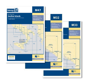
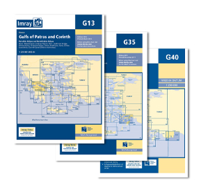
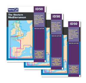
Imray G & M series nautical marine charts cover the Mediterranean Islands, oceans and coastal areas
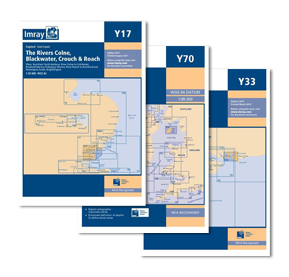
Imray Y series nautical marine charts cover the UK inland rivers, canals, waterways and estuaries in detail
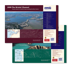
Imray 2000 Series UK Coastal Charts cover coastal areas of the UK and Channel Islands
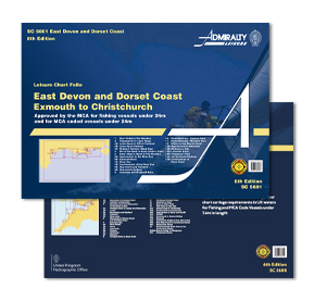
Admiralty Leisure Folio chart packs provide charts for UK costal and estuary areas. Typically consisting of 15-20 individual charts for each folio, these packs provide a highly detail
Waterways Maps & Guides are also for the leisure user covering UK inland waterway, rivers, estuary and Canals