Search results for: 'peak district visitors map'
- Did you mean
- park district visitors map
- punk district visitors map
-
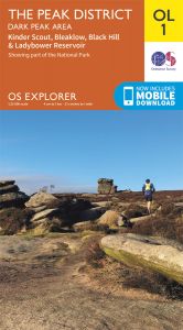 OS Explorer Leisure - OL1 - The Peak District, Dark Peak areaRRP £12.99
Our Price £8.99 With Free First Class Delivery On All Orders Saving £4.00 (30.8%) -
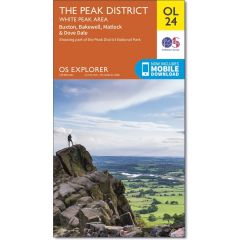 OS Explorer Leisure - OL24 - The Peak District, White PeakRRP £12.99
Our Price £8.99 With Free First Class Delivery On All Orders Saving £4.00 (30.8%) -
 OS Explorer Active - 1 - The Peak District Dark Peak areaRRP £16.99
Our Price £11.89 With Free First Class Delivery On All Orders Saving £5.10 (30%) -
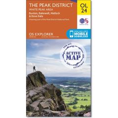 OS Explorer Active - 24 - The Peak DistrictRRP £16.99
Our Price £11.89 Saving £5.10 (30%) -
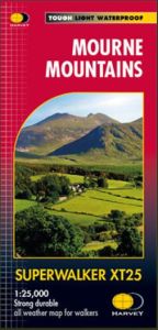 Harvey Superwalker - Mourne MountainsRRP £15.50
Our Price £13.17 Saving £2.33 (15%) -
 Walking The Lake District Fells - Keswick : Skiddaw, Blencathra And The NorthRRP £14.95
Our Price £11.21 With Free First Class Delivery On All Orders Saving £3.74 (25%) -
 OS Landranger - 119 - Buxton, Matlock, Bakewell & Dove DaleRRP £12.99
Our Price £8.99 Saving £4.00 (30.8%) -
 Pocket Mountains - The Lake DistrictRRP £6.99
Our Price £6.29 With Free First Class Delivery On All Orders Saving £0.70 (10%) -
 OS Landranger Active - 119 - Buxton, Matlock, Bakewell & Dove DaleRRP £16.99
Our Price £11.89 Saving £5.10 (30%) -
 OS Landranger - 110 - Sheffield & Huddersfield, Glossop & HolmfirthRRP £12.99
Our Price £8.99 With Free First Class Delivery On All Orders Saving £4.00 (30.8%) -
 OS Landranger Active - 110 - Sheffield & Huddersfield, GlossopRRP £16.99
Our Price £11.89 With Free First Class Delivery On All Orders Saving £5.10 (30%) -
 Pocket Mountains - Loch Lomond And The TrossachsRRP £6.99
Our Price £6.29 With Free First Class Delivery On All Orders Saving £0.70 (10%)